
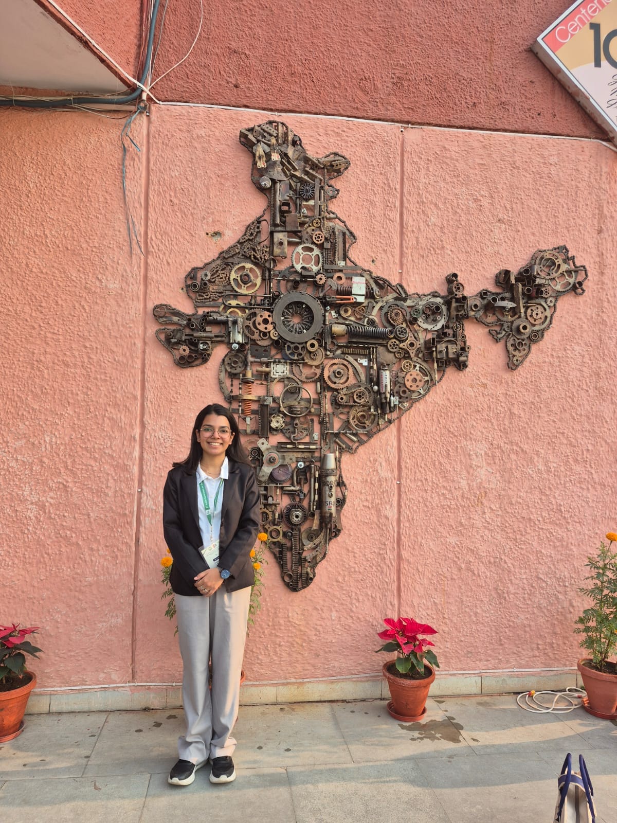
JannatKhosla
I'm a geospatial researcher. I turn Sentinel-2 and Landsat imagery into maps of farmland and water, compared across years, and I set out ground control for drone surveys.
- 01MSc Geoinformatics, Panjab University
- 02Research intern, IIT Roorkee, 2026
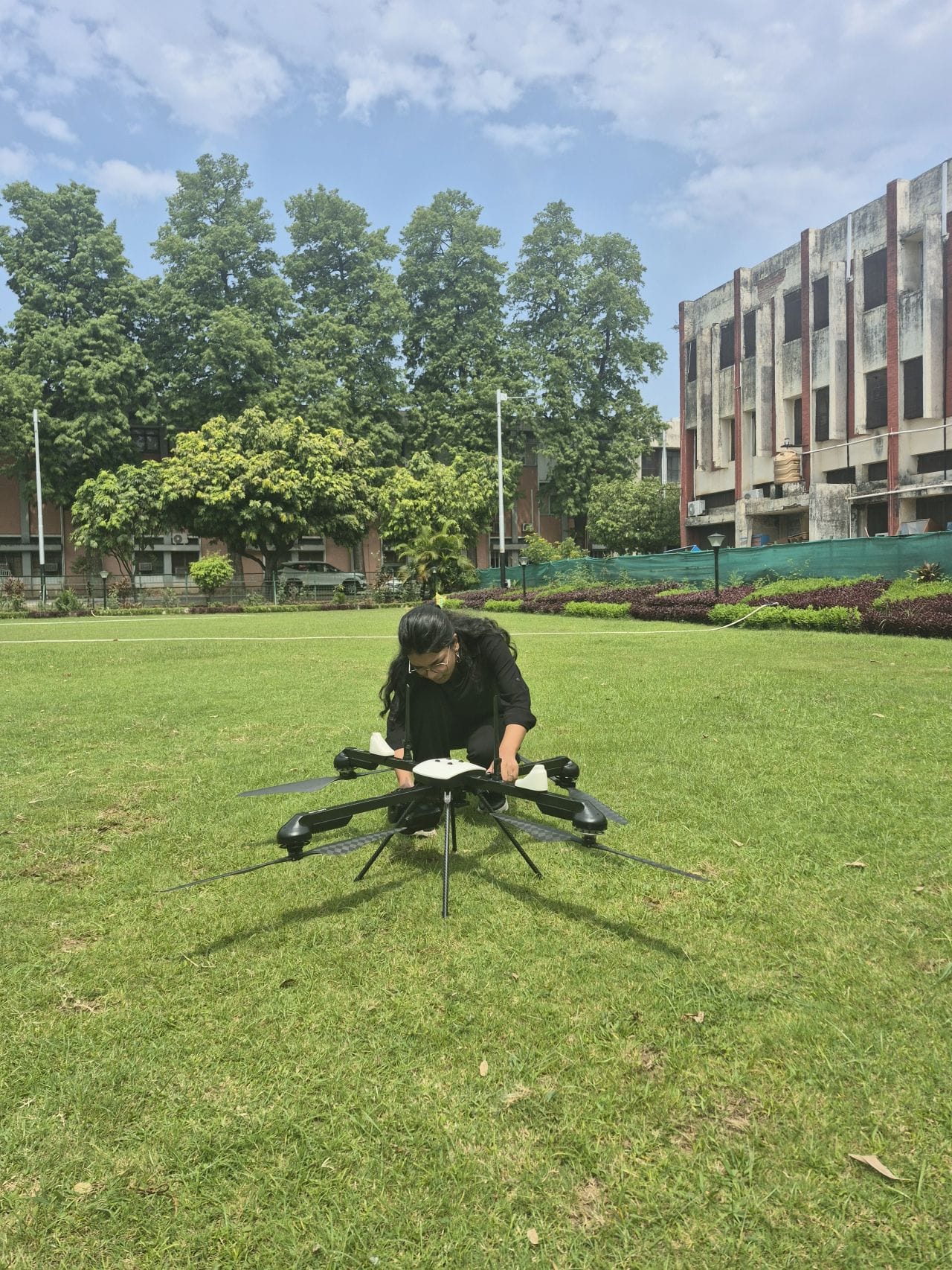
Until my IIT Roorkee internship in 2026, nearly everything I'd mapped came from satellites. There I set out ground control points with a GNSS rover so the drone surveys would line up with the ground.
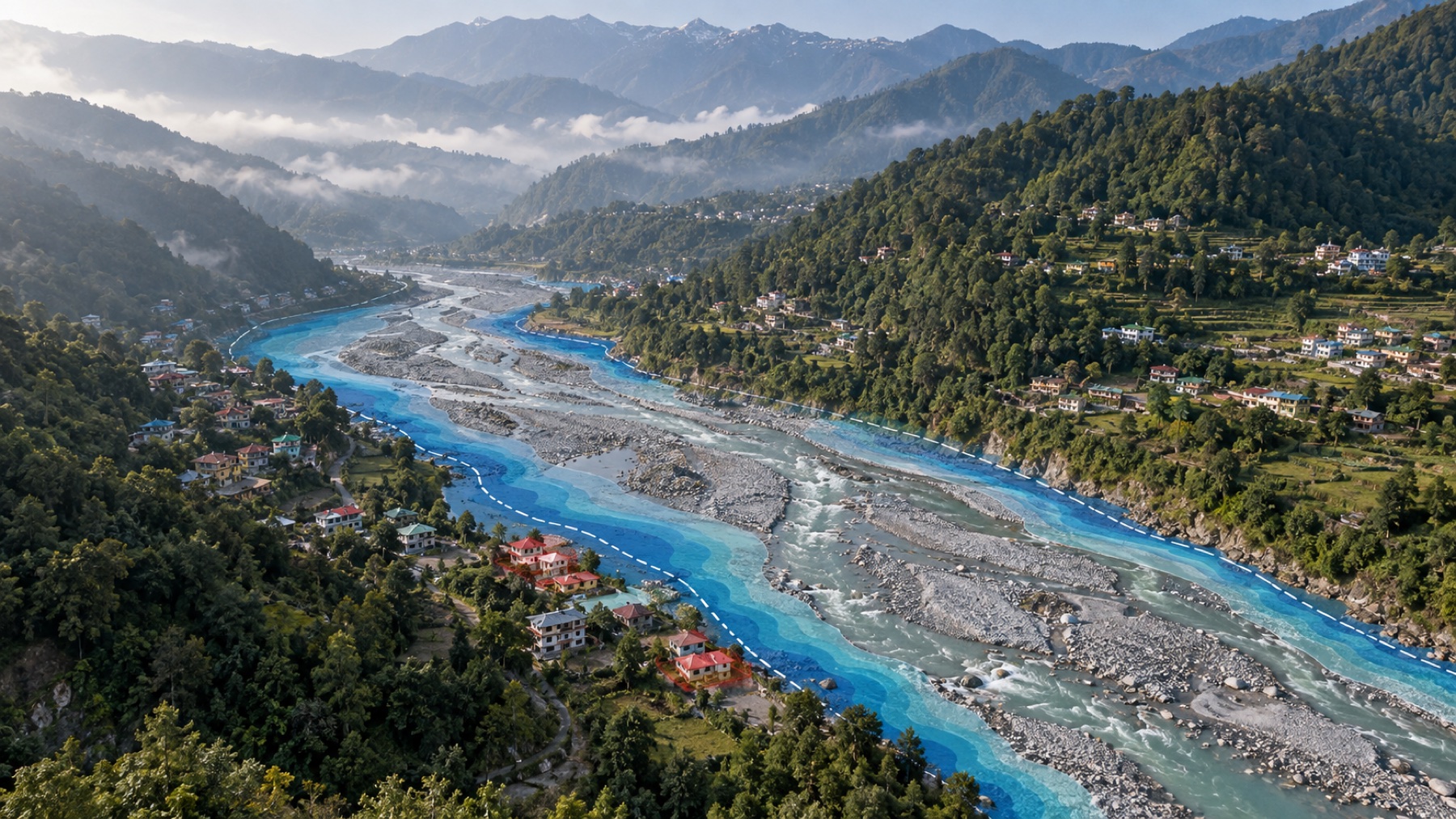
I'm doing an MSc in Geoinformatics at Panjab University, after a BA in Geography at Indraprastha College for Women, University of Delhi. The rest of my work is in Punjab and Delhi NCT, plus one flood-exposure study in the hills above Dehradun.
- Studying
- MSc Geoinformatics, Panjab University
- Research internship
- IIT Roorkee, 2026
- Based in
- Chandigarh, India
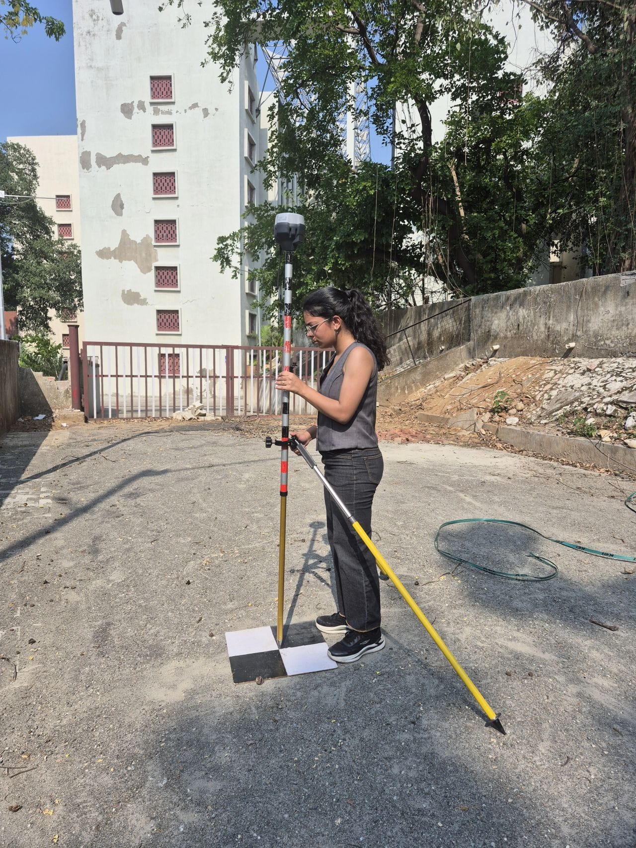
Observing a ground control point
projects written up on the Work page
volunteers I led with Prayan Foundation while I was at college in Delhi
online courses, mostly Esri and IIRS
In November 2025 I presented a paper on water indices in Punjab at the 6th Asian Conference on Geography, Jamia Millia Islamia.
Most of my projects sit in the first two.
- 01
GIS and spatial analysis
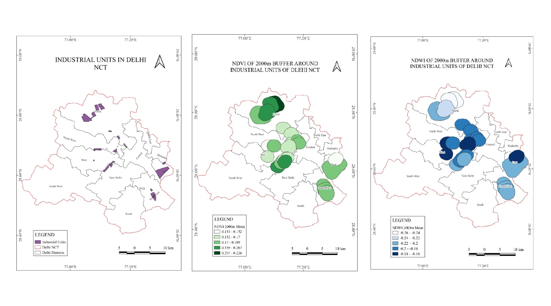
Buffers, overlays and zonal statistics in QGIS and ArcGIS Pro. For the Delhi NCT study I drew distance rings around industrial sites and ran statistics for every ring.
QGIS · ArcGIS Pro · Google Earth Pro
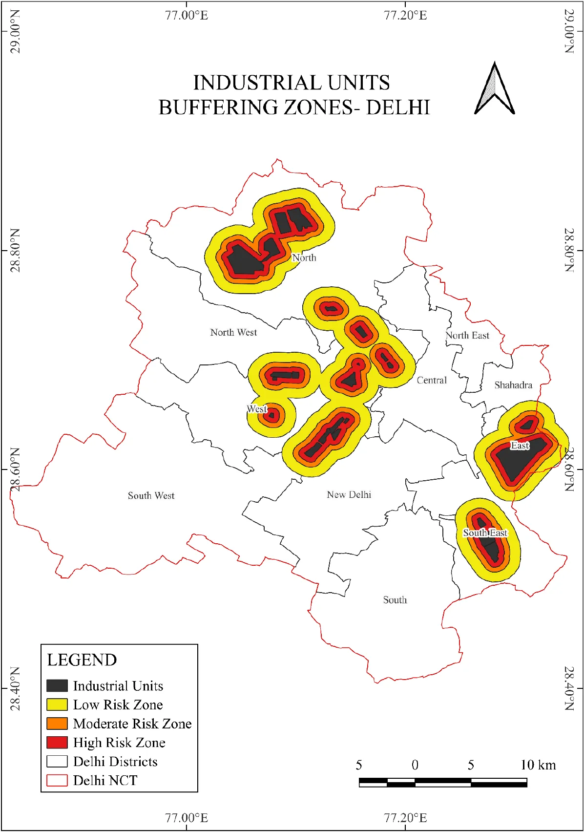 See it inDelhi NCT industrial impact
- 02
Remote sensing and spectral indices
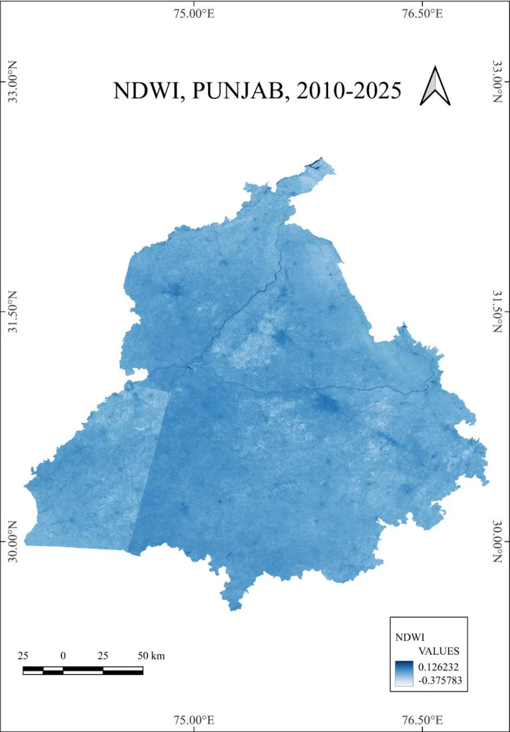
NDVI, NDWI and NDBI from Sentinel-2 and Landsat. I've used them to read water stress across Punjab's farmland, and to compare land next to Delhi's industrial areas with land a few kilometers out.
Sentinel-2 · Landsat · Google Earth Engine · Python · NDVI / NDWI / NDBI
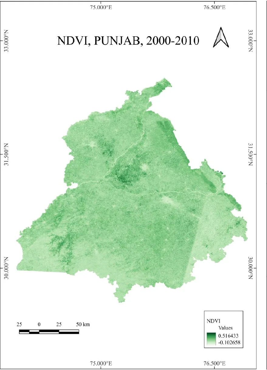 See it inPunjab water indices
- 03
Drone surveys and GNSS ground control
At IIT Roorkee in 2026 I observed ground control points with an Emlid Reach RS3 and a Trimble DA, then fed them into the photogrammetry so the orthomosaics and surface models sat on real coordinates.
RTK GNSS · Photogrammetry
See it inIIT Roorkee UAV and GNSS field work - 04
Research writing
Eight weeks of academic writing and literature reviews at Bhu Chintan in 2025.
Literature reviews · Papers · Reports
Roughly how a project goes.
With pictures from my own projects: the Punjab water study and the drone surveys at IIT Roorkee.

 01 / 04
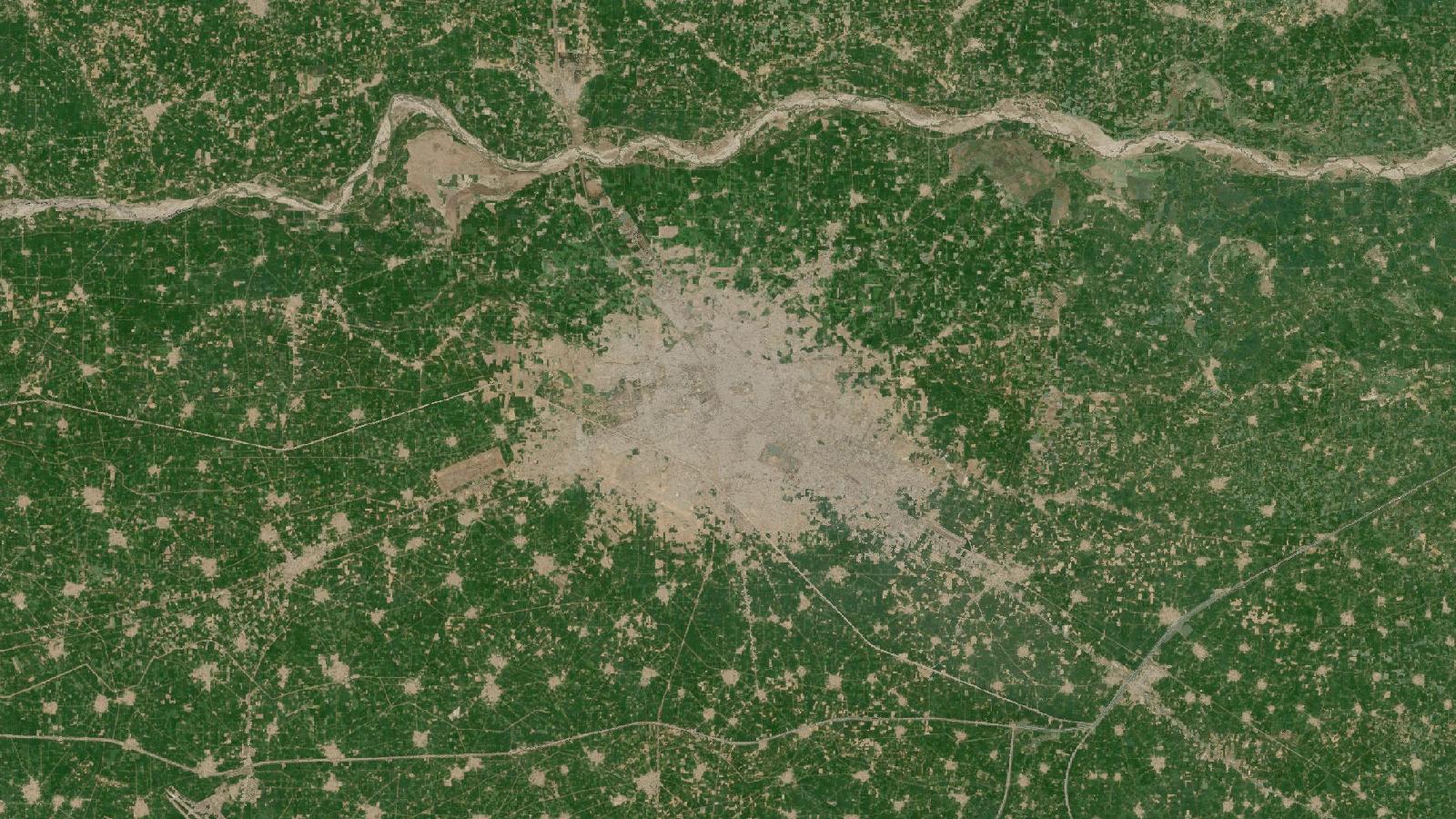
The raw scene: Landsat true color over Ludhiana and the Sutlej. NASA, public domain. 01Work out the question
Before I download anything I want to know what you're trying to find out, because that decides which sensor and which months of imagery are worth using.
Getting a survey drone ready before a mapping flight. 02Fieldwork, if it's needed
Plenty of projects never need it. When one does, I go out with a GNSS receiver and observe ground control for the drone flights.
An index worked out from the imagery: NDWI for Punjab, 2010 to 2025. 03Processing
Indices, buffers and zonal statistics in QGIS or ArcGIS Pro. I note down each setting so the analysis can be run again later.
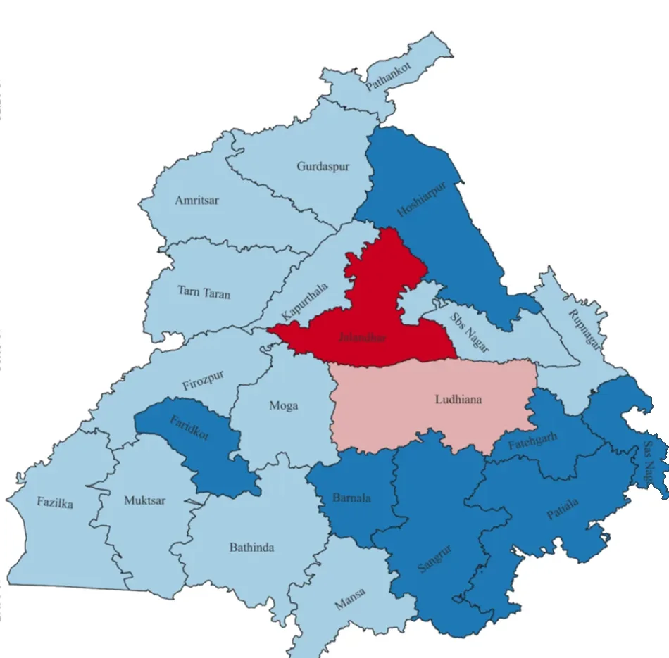
The finished map: groundwater table by district, 2010 to 2025. 04Maps and a write-up
You get the maps and the data files, and a short write-up of what the numbers mean, in words someone outside GIS can follow.
Things I've mapped.

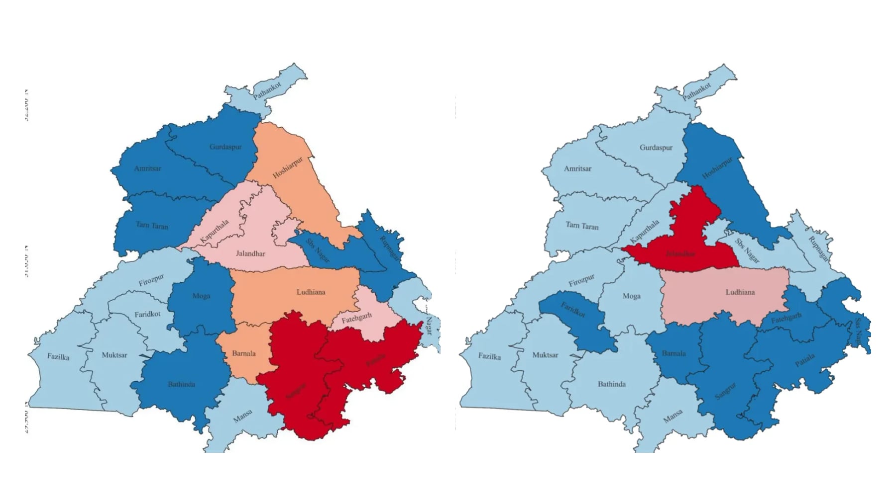
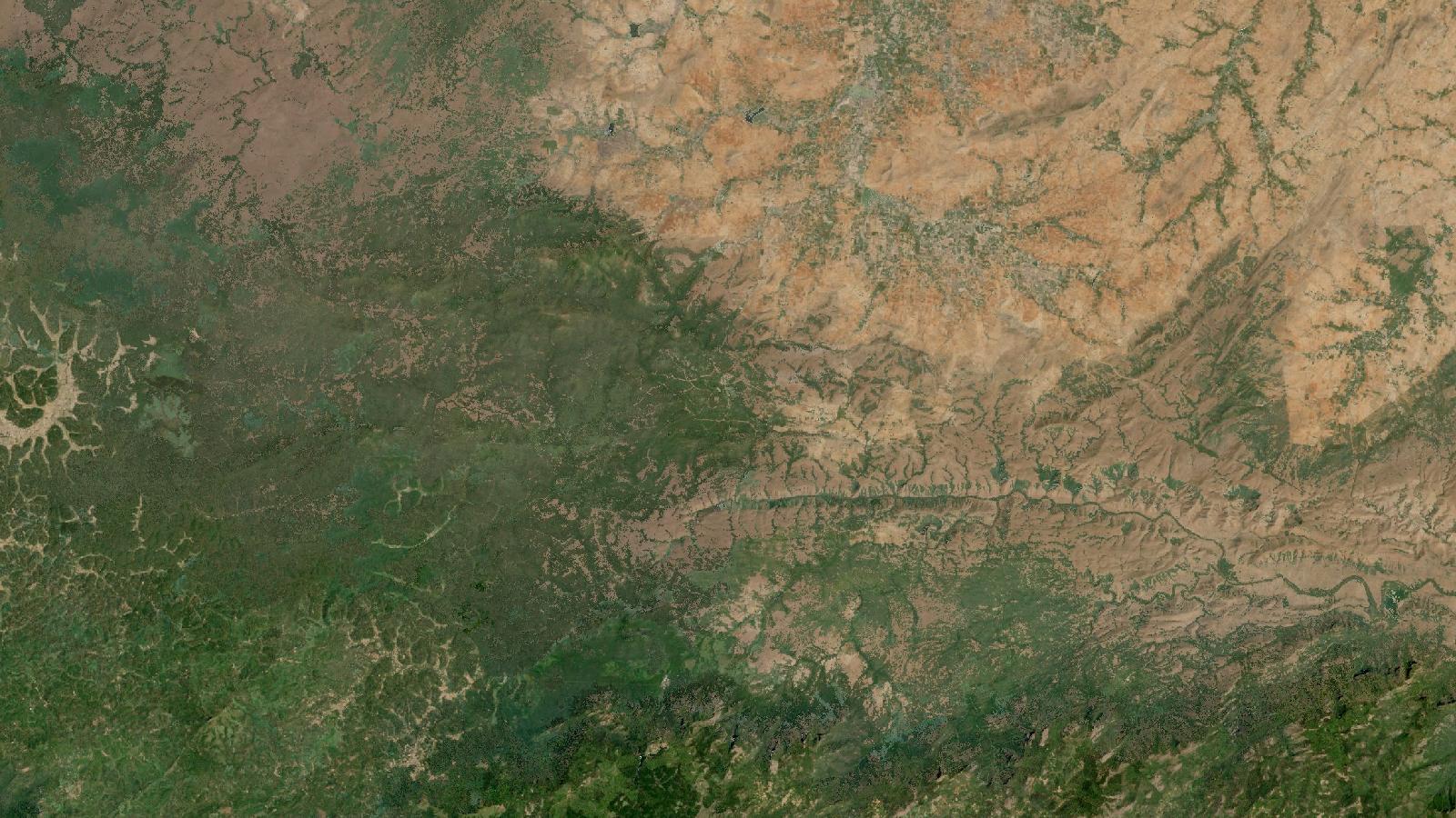
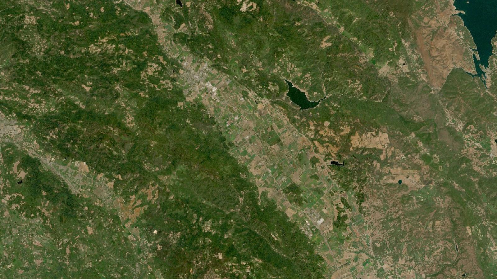
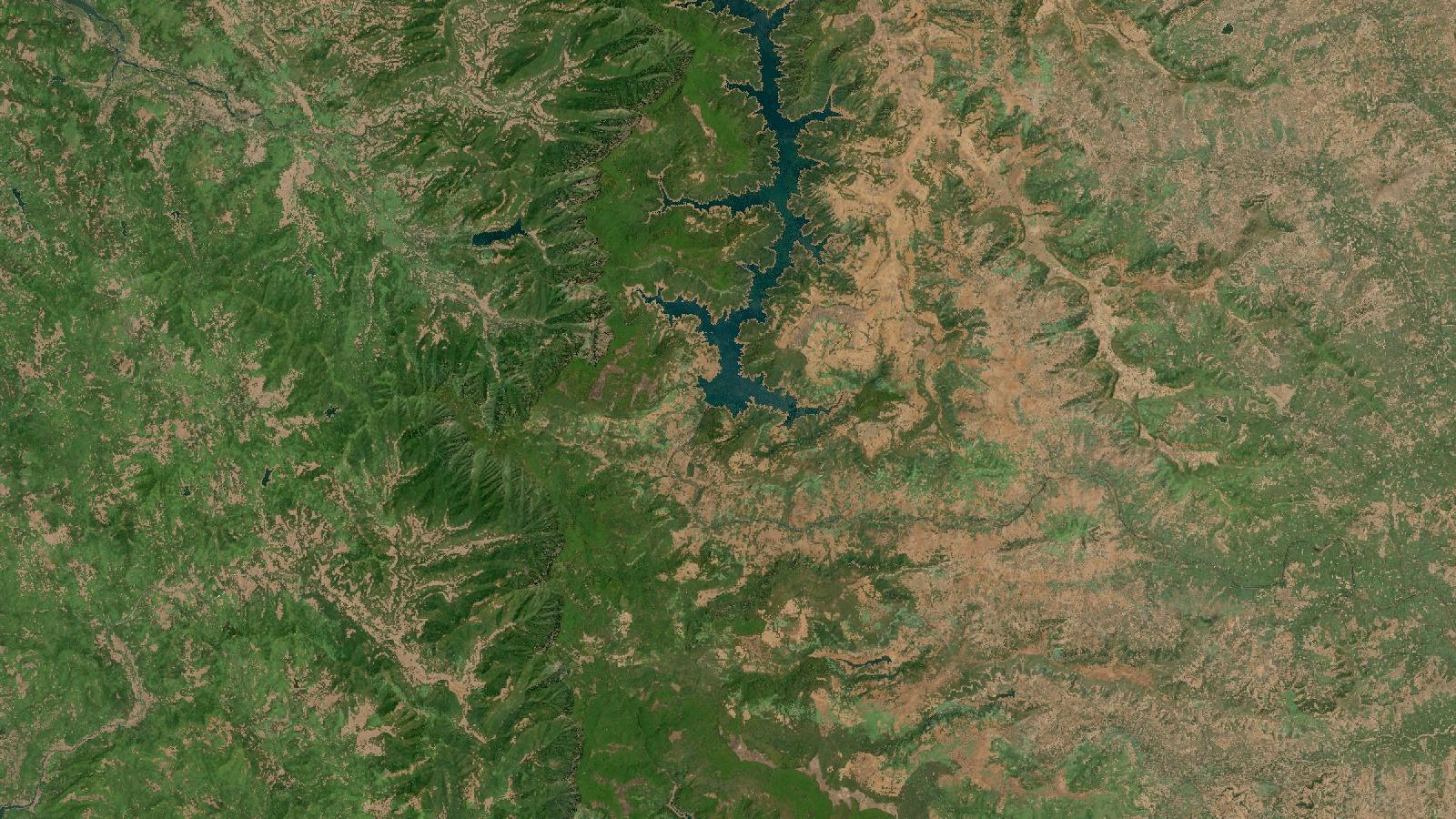
Most of my projects so far sit in one strip of North India, from the Punjab plains down to Delhi and up into the foothills above Dehradun.
“Crazy good work ethic; she has always worked above and beyond on every assignment during her internship under me.”
“Exceptional leadership and organizational skills, leading a team of 25 to 30 volunteers.”
Record
- ResearchUAV and GNSS field campaigns with Emlid Reach RS3 and Trimble DAIIT Roorkee, 2026
- PaperAssessing Water Indices for Sustainable Agriculture in Punjab6th Asian Conference on Geography, Jamia Millia Islamia, 2025
- ProjectIndustrial units across Delhi NCT, read through NDVI, NDWI, NDBI and buffer analysisResearch project, 2025
- CertificatesGoing Places with Spatial Analysis, GIS for Climate Action, ArcGIS ImageryEsri
- TrainingIIRS outreach courses, and Spatial Analytical Tools trainingIIRS (ISRO), Miranda House
- LeadershipJoint Secretary and Logistics Head, coordinating 25 to 30 volunteers for community programsPrayan Foundation, IPCW
Notes on GIS and remote sensing.
Asked often enough to write down.
- 01What GIS and remote sensing work do you do?
- Spectral indices on Sentinel-2 and Landsat imagery, with buffers and zonal statistics in QGIS or ArcGIS Pro. During my IIT Roorkee internship I also did the GNSS ground control for drone surveys.
- 02Can you work on drone surveys and UAV mapping?
- Yes, especially the ground control side. At IIT Roorkee I helped plan the flights, marked and observed control points with an Emlid Reach RS3 and a Trimble DA, and processed the photos into orthomosaics and surface models.
- 03What is NDVI and how do you use it?
- NDVI compares how much red and near-infrared light a surface reflects. Healthy plants reflect a lot of near-infrared, so it works as a rough measure of vegetation health. I used it with NDWI on Landsat for my Punjab water-indices paper, and with NDBI on Sentinel-2 to look at land around industrial sites in Delhi NCT.
- 04Where are you based and are you available?
- Chandigarh. I'm at Panjab University until 2027 and looking for GIS and remote-sensing roles or research internships. I take freelance projects too, remote or in North India.
Send meyour study area.
Email me directly
jannatkhosla0401@gmail.comLinkedIn
in/jannat-khoslaRésumé
Download the PDFLocation
Chandigarh, India
I'm looking for GIS and remote-sensing roles and internships, and I also take on freelance and contract projects.