How GRACE Satellites Measure Groundwater Loss Beneath Your Feet
GRACE and GRACE-FO satellites measure tiny changes in Earth's gravitational field to track groundwater depletion from orbit — a method now central to water-resource monitoring in India and globally.
Why Gravity Became a Groundwater Sensor
Last week, two things happened almost simultaneously that should matter to every GIS and water-resources professional in India. The Ministry of Jal Shakti formalized an MoU with ISRO covering 24 research areas — groundwater assessment explicitly among them. And NASA published new findings on aquifer decline in Brazil's Cerrado region, produced through a collaboration between NASA and Brazilian research institutions using satellite gravity data. Both stories point to the same technology: GRACE and its successor GRACE-FO, the only satellite system that can "weigh" water stored underground from orbit.
Most GIS practitioners I speak with have worked with optical or SAR imagery, maybe even InSAR for land subsidence. But GRACE satellite groundwater monitoring operates on a completely different physical principle — and understanding that principle is the prerequisite for using the data responsibly.
How Do You Weigh Water From 500 km Up?
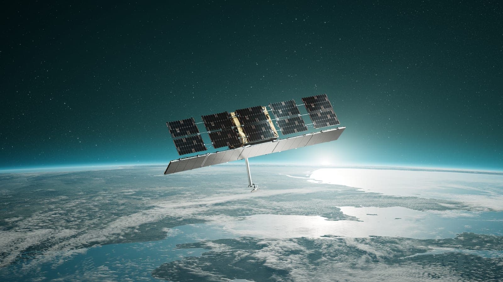
The Gravity Recovery and Climate Experiment (GRACE) has flown as a pair of NASA satellites in low-Earth orbit since 2002. The two satellites orbit roughly 220 km apart, and the key measurement is the distance between them — tracked by a microwave ranging system to micrometer precision.
Here is the physical logic: when the leading satellite passes over a region with slightly higher mass (say, a groundwater-saturated aquifer), Earth's gravitational pull on it increases fractionally, causing it to accelerate and pull slightly ahead of the trailing satellite. That change in inter-satellite distance, integrated over months of repeat passes, translates into a map of terrestrial water storage anomalies (TWSA) — deviations from a baseline mean.
What GRACE measures is the column-integrated change in all water: soil moisture, snow, surface water, and groundwater combined. To isolate groundwater specifically, you subtract the other components using land-surface models like GLDAS (Global Land Data Assimilation System). This is the step where methodological choices matter most, and where uncertainty enters. A study published in ScienceDirect describing groundwater level estimation for pre-monsoon 2021 in India used JPL RL05 temporal datasets with GLDAS to do exactly this separation — a workflow that has become fairly standard in the Indian research community.
What Has GRACE Actually Shown Over India?
The headline result is stark. GRACE-FO data from JPL documents depletion of groundwater in northwestern India between 2002 and 2008 — a period that aligns with the rapid expansion of irrigated agriculture in Punjab, Haryana, and western Uttar Pradesh. This is not a modelled projection; it is a direct mass-balance observation from orbit.
Research using GRACE data has also examined how India's groundwater responds to large-scale climate variability. A study published in the Journal of Earth System Science quantified interannual variations in groundwater storage changes across India using GRACE, linking them to ENSO cycles. The implication is important for planning: groundwater depletion in India is not simply a story of over-extraction — monsoon variability modulates recharge in ways that GRACE can track but borehole networks often miss.
Earlier remote-sensing work in Gujarat showed that satellite data could complement and interpolate sparse groundwater well observations to improve storage estimates at the regional scale — a finding published in the Journal of Environmental Informatics that remains relevant as ISRO and Jal Shakti now formalize exactly this kind of integration.
A 2025 study in AGU Advances evaluated global terrestrial water storage extremes using GRACE and GRACE-FO data from 2002 to 2024, examining climate linkages. India's northwest consistently appears as a region of sustained negative anomaly — meaning the deficit has persisted and deepened over more than two decades of the satellite record.
A Worked Example: Reading a TWSA Time Series
To make this concrete, here is how I would approach a basic GRACE analysis for a district in Rajasthan — a region where remote sensing has been used to understand groundwater storage changes and recharge dynamics.
Step 1 — Data access. Download monthly GRACE/GRACE-FO mascon solutions from NASA's PO.DAAC or the JPL Tellus portal. Mascon products (e.g., JPL RL06M) are generally preferred over spherical harmonic solutions for regional studies because they reduce leakage errors near coastlines and across sharp gradients.
Step 2 — Extract TWSA for your region. Clip the global grid to your area of interest. Each monthly value is in centimetres of equivalent water height relative to a 2004–2009 baseline mean. A value of −8 cm means the total water column is 8 cm thinner than average.
Step 3 — Subtract soil moisture and snow. Pull GLDAS Noah outputs for soil moisture (typically 0–200 cm depth) and canopy water storage for the same months. Subtract these from TWSA. What remains is your groundwater storage anomaly (GWSA) estimate.
Step 4 — Interpret seasonality carefully. In Rajasthan, you will see a strong annual cycle: GWSA rises post-monsoon (August–October) and falls through the dry season. The trend line beneath that seasonal oscillation is what tells you whether recharge is keeping pace with extraction. If the trend is negative year-over-year, the aquifer is in deficit.
Step 5 — Validate against well data. GRACE has a spatial resolution of roughly 300–400 km, so it cannot replace a borehole network. Cross-checking GWSA trends against Central Ground Water Board (CGWB) well-level data for the same region is essential before drawing conclusions at the district scale.
Why the ISRO–Jal Shakti Partnership Changes the Picture
The MoU signed between ISRO and the Ministry of Jal Shakti — announced at the National Workshop on R&D in Water alongside the MAHA on Water mission — explicitly includes groundwater assessment among its 24 research areas. This is significant for a practical reason: GRACE data is global and freely available, but turning it into actionable district-level intelligence requires fusion with India-specific datasets — CGWB well logs, ISRO's own land-use maps, reservoir storage records, and monsoon recharge models.
ISRO has the geospatial infrastructure and the institutional relationships with state water departments to do that fusion at scale. If this partnership delivers, it could mean that GRACE-derived groundwater anomalies become a routine input into India's water accounting frameworks, rather than remaining confined to research papers.
Globally, an IGRAC study covering 47 countries has reviewed national groundwater monitoring data, underscoring how patchy in-situ observation networks remain worldwide — exactly the gap that satellite gravity data is positioned to partially fill.
Limitations Every Practitioner Should Know
GRACE satellite groundwater monitoring is powerful but not a substitute for field measurement. Key limitations:
- Spatial resolution is coarse (~300–400 km). Sub-district or watershed-scale analysis requires careful downscaling or integration with higher-resolution proxies.
- The GRACE gap: the original GRACE mission ended in 2017; GRACE-FO launched in 2018. There is an approximately 11-month data gap between them that complicates long trend analyses.
- GLDAS uncertainty: errors in the land-surface model propagate directly into your GWSA estimate. Different GLDAS versions can yield meaningfully different groundwater signals.
- Signal attribution: a single TWSA value integrates everything — a large reservoir filling can look like groundwater recharge if you are not careful with your masking.
None of these limitations make GRACE data less valuable. They make understanding the methodology non-negotiable before you publish or advise policy.
References
- IGRAC groundwater monitoring in 47 countries — The Water Diplomat
- ISRO–Jal Shakti MoU and MAHA Mission — The Policy Edge
- Centre–ISRO pact for satellite-based water management — Madhyamam
- NASA: Aquifer decline in Brazil's Cerrado — NASA Science
- GRACE-FO Global Terrestrial Water Storage Anomaly (NW India 2002–2008) — JPL
- Groundwater level estimation using GRACE and GLDAS — ScienceDirect
- TWS extremes and climate linkages 2002–2024 — AGU Advances
- GRACE climate data overview — UCAR Climate Data Guide
- ENSO-induced groundwater changes in India — Journal of Earth System Science
- Remote sensing for groundwater in Gujarat — Journal of Environmental Informatics
- Groundwater storage changes in Rajasthan via remote sensing — Water (MDPI)
- ISRO–Jal Shakti MoU background — Deccan Herald
Researched with AI assistance and reviewed by Jannat Khosla.