
MSc Geoinformatics · IIT Roorkee
JannatKhosla
Geospatial researcher working across drone photogrammetry, GNSS ground control and satellite remote sensing.
I turn field data and satellite imagery into defensible spatial insight for agriculture, water and the environment.
My background sits at the intersection of geography, geoinformatics, field surveying and research writing, from campus drone surveys to district-scale environmental questions across India.
What I work on.
Field surveying, satellite analysis and cartography, applied to real environmental questions.
QGIS, ArcGIS Pro, ArcMap and Google Earth Pro for map production, overlay operations, spatial statistics, zonal summaries and decision-ready cartographic outputs.
From a spatial question to a decision-ready map.
Scope & data sourcing
Define the spatial question, then pull the right imagery and layers - Sentinel-2, Landsat, survey data and open datasets at the correct resolution and date range.
Field survey & GNSS control
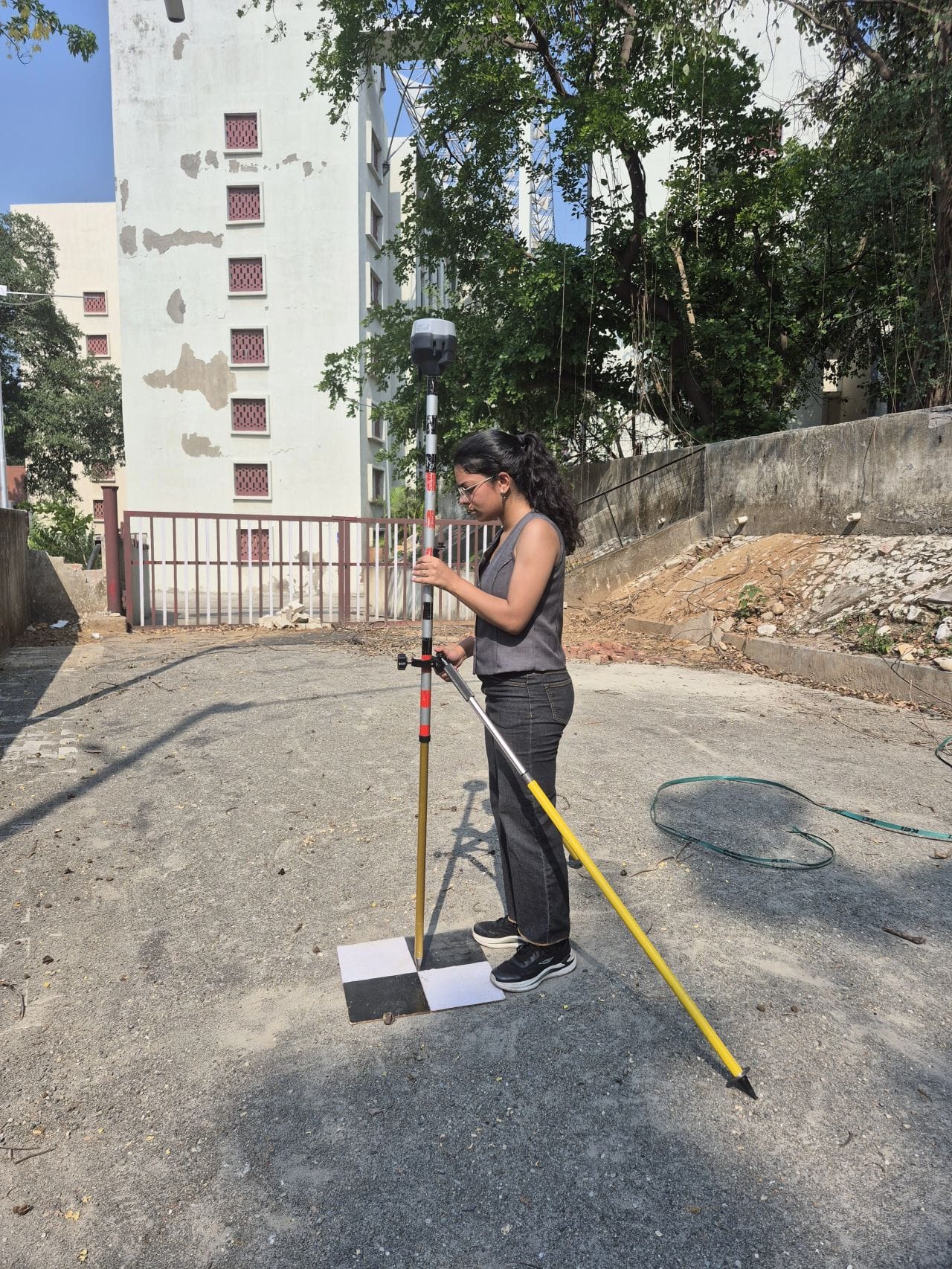
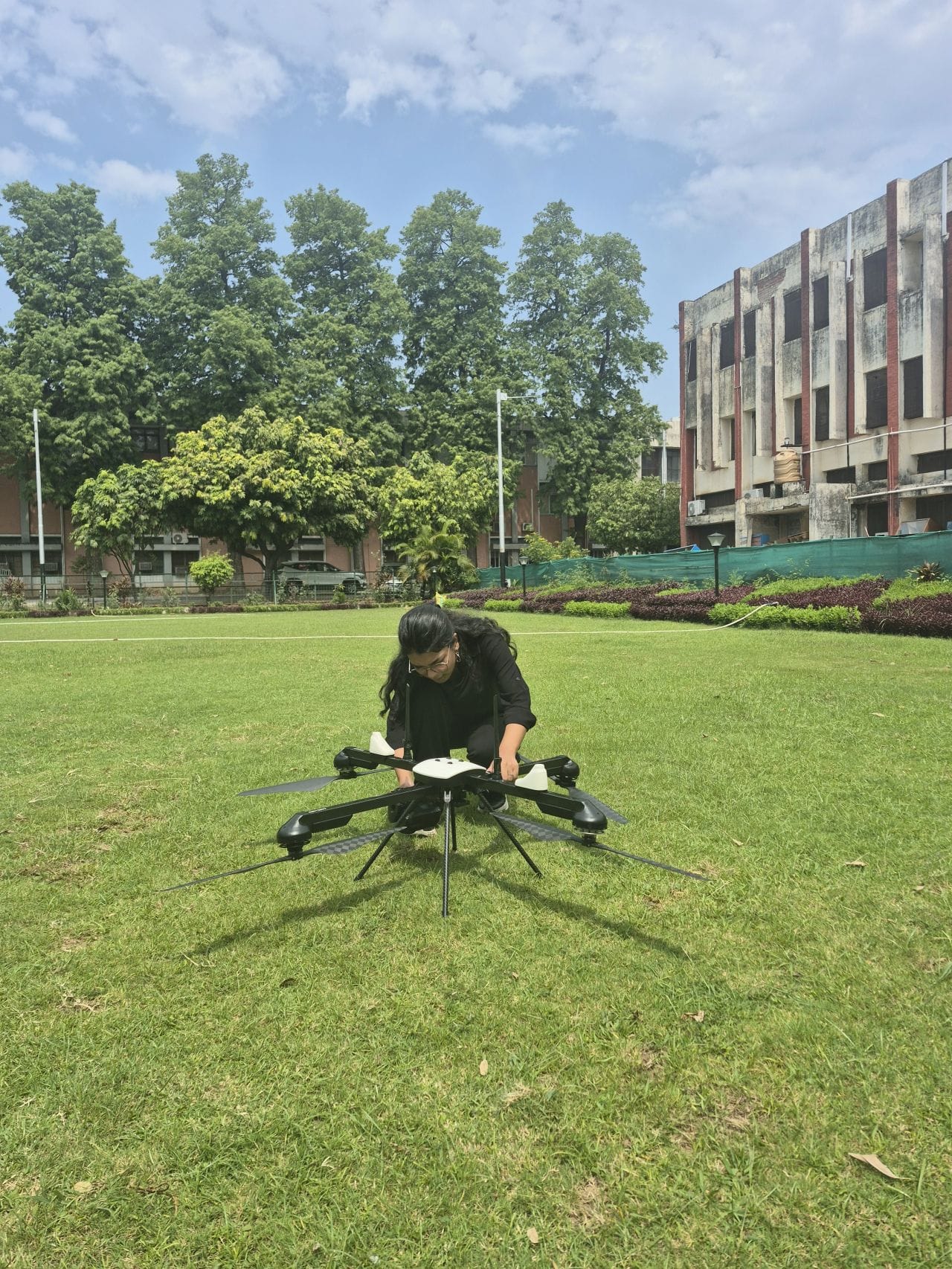
Where ground truth matters, I plan UAV missions and observe ground control with Emlid Reach RS3 and Trimble DA for high-accuracy georeferencing.
Processing & analysis
Spectral indices, buffer and zonal statistics, overlays and change detection in QGIS and ArcGIS Pro, turned into defensible, reproducible results.
Mapping & reporting
Clear cartographic outputs and written findings that both technical reviewers and decision-makers can act on with confidence.
Geospatial projects, grounded in real data.
Field discipline meets satellite-scale analysis.
Field surveying and satellite analysis under one roof.
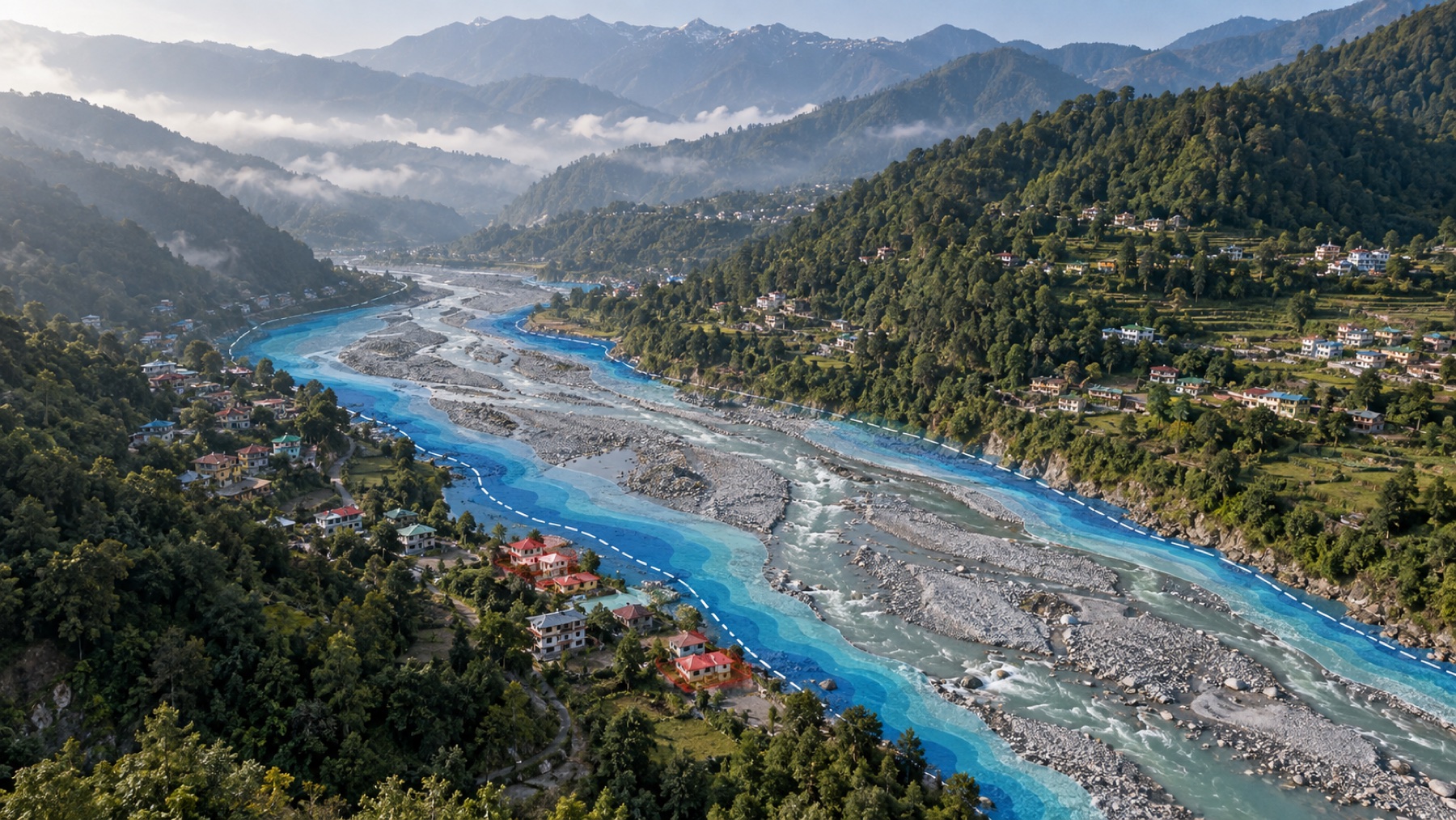
UAV missions and GNSS ground control, then NDVI, NDWI and NDBI processing on Sentinel-2 and Landsat, so projects don't fall through the gaps between disciplines.
Defensible methods
Reproducible workflows, documented indices and validated ground control.
Research-grade writing
Findings communicated clearly for technical and non-technical readers.
India-focused, globally relevant
Grounded in Indian agriculture, water and urban questions, from Punjab's groundwater to Delhi NCT's industrial footprint.
Real people, real recognition.
A few words from people I have worked and studied with, plus milestones along the way.
Crazy good work ethic; she has always worked above and beyond on every assignment during her internship under me.
Exceptional leadership and organizational skills, leading a team of 25 to 30 volunteers.
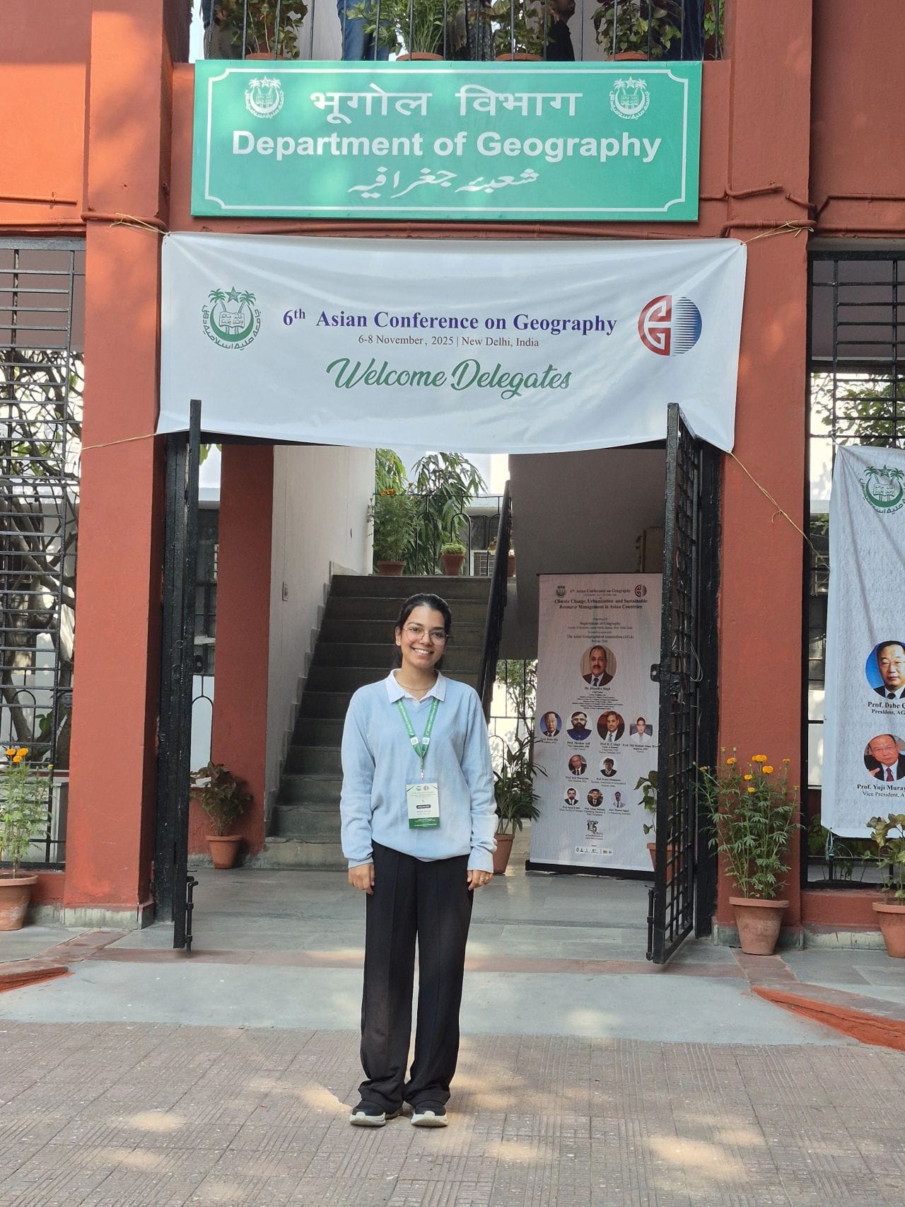
Presented “Assessing Water Indices for Sustainable Agriculture in Punjab” at the 6th Asian Conference on Geography, Jamia Millia Islamia.
Completed Esri courses: Going Places with Spatial Analysis, GIS for Climate Action and ArcGIS Imagery.
Running UAV and GNSS field campaigns with Emlid Reach RS3 and Trimble DA for high-accuracy ground control.
Completed multiple IIRS (ISRO) outreach courses and Spatial Analytical Tools training at Miranda House, University of Delhi.
Mapped industrial units across Delhi NCT and applied NDVI, NDWI, NDBI and buffer analysis to assess environmental impact.
Led 25 to 30 volunteers as Joint Secretary and Logistics Head at Prayan Foundation, coordinating community drives.
Notes on GIS, remote sensing and field work.


Frequently asked questions.
Common questions about my work, tools and availability.
I work in QGIS and ArcGIS Pro on spatial analysis, buffer and zonal statistics and overlays, process Sentinel-2 and Landsat imagery for NDVI, NDWI and NDBI, and run drone photogrammetry with GNSS ground control using Emlid Reach RS3 and Trimble DA.