How to start a career in GIS and remote sensing in India
A practical roadmap to break into GIS and remote sensing in India: degrees, QGIS and ArcGIS, Python, Google Earth Engine, Esri and IIRS/ISRO certifications, projects, and where to find jobs.

How do you start a career in GIS and remote sensing in India?
To start a career in GIS and remote sensing in India, you need three things: a relevant degree or diploma in geography, geoinformatics, or a related field, hands-on skills in software like QGIS and ArcGIS Pro, and a small portfolio of real projects using open data such as Sentinel-2 and Landsat. Recognised certifications from Esri and IIRS/ISRO add weight, and roles are available across government agencies, research institutes, private mapping firms, and startups.
I am a geospatial researcher based in Chandigarh, currently doing my MSc in Geoinformatics at Panjab University after a BA(Hons) in Geography from the University of Delhi. I also work as a research intern at IIT Roorkee on UAV photogrammetry and GNSS ground control. This post is the roadmap I wish someone had handed me when I started. It is practical, India-specific, and meant to be encouraging, because this field is very learnable if you stay consistent.
Step 1: Pick the right educational path
You do not need one fixed degree to enter this field, but a structured background helps a lot.
- Geography (BA/BSc Hons) gives you the conceptual base: maps, scale, projections, physical and human geography. This is where I began at Delhi.
- Geoinformatics, Geomatics, or Remote Sensing (MSc/MTech) is the natural specialisation. My MSc in Geoinformatics at Panjab University is where the technical depth really builds.
- Allied degrees like geology, environmental science, civil engineering, computer science, urban planning, and agriculture also feed into GIS roles. Many strong analysts come from these branches.
If you are still in college, you do not have to wait. Start learning the tools alongside your coursework. Skills and a degree together are far stronger than either one alone.
Step 2: Learn the core software
Tools are where you become employable. Focus on building real fluency, not just watching tutorials.
QGIS (free and open source)
Start here. QGIS is free, runs on any laptop, and is widely used in India by NGOs, research labs, and many government projects. Learn to load vector and raster layers, work with attribute tables, do buffers and zonal statistics, and make clean map layouts.
ArcGIS Pro
ArcGIS Pro from Esri is the industry standard in many private firms and large organisations. Knowing both QGIS and ArcGIS makes you flexible. Esri India offers student access and learning paths, so you can get hands-on without a workplace licence.
Google Earth Pro and image platforms
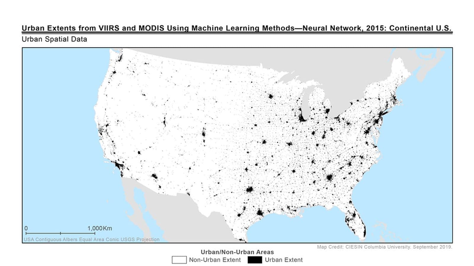
Google Earth Pro is great for quick visual checks, historical imagery, and ground-truthing. For satellite data, get comfortable downloading and processing Sentinel-2 and Landsat scenes. These open archives are the backbone of most remote sensing work in India.
Step 3: Add coding and cloud skills
You can get an entry-level role without coding, but Python and Google Earth Engine will move your career much faster.
- Python for geospatial work: libraries like GeoPandas, Rasterio, and NumPy let you automate repetitive tasks and process large datasets. Even basic scripting saves hours.
- R is useful if you lean towards statistics and spatial modelling.
- Google Earth Engine (GEE) is a game changer. It lets you run analysis on petabytes of satellite data in the cloud, straight from your browser. For computing indices like NDVI, NDWI, and NDBI over large areas and long time periods, GEE removes the storage and processing limits that hold beginners back.
In my own work I have used NDVI and NDWI on Landsat to study water indices and groundwater patterns in Punjab, and Sentinel-2 based NDVI, NDWI, and NDBI with buffer and zonal statistics to look at industrial impact in the Delhi NCT region. You do not need to master everything at once. Pick one index, one study area, and one question, then build from there.
Step 4: Earn recognised certifications
Certifications signal seriousness and give you structured learning. In India, two names carry real weight.
- Esri certifications and the Esri Academy courses are well respected by private employers and validate your ArcGIS skills.
- IIRS/ISRO (Indian Institute of Remote Sensing) runs excellent outreach and e-learning programmes, many of them free. Their courses on remote sensing, GIS, and photogrammetry are highly regarded in Indian government and research circles.
I hold both Esri and IIRS/ISRO certifications, and they have genuinely helped open doors and conversations. Treat them as proof of effort, not as a substitute for projects.
Step 5: Build a portfolio of real projects
This is the part most beginners skip, and it is the part recruiters care about most. A few honest, well-documented projects beat a long list of courses.
Project ideas you can start today:
- Land use and land cover change for your own district using Landsat or Sentinel-2 across two time periods.
- Vegetation and water mapping with NDVI and NDWI for a river basin or agricultural belt.
- Urban growth analysis using NDBI for a fast-growing city near you.
- A simple GNSS or field mapping exercise if you have access to any survey-grade equipment.
Write up each project clearly: the question, the data, the method, and a clean map or two. Put them on a portfolio website, GitHub, or even a LinkedIn post. Showing your process matters as much as the final map.
Step 6: Know where to look for GIS jobs in India
The field is broader than people expect. Roles exist across many sectors.
- Government and research: ISRO and its centres, IIRS, state remote sensing application centres, survey departments, and institutes like the IITs and agricultural universities.
- Private GIS and mapping firms: companies working in utilities, telecom, infrastructure, defence, and location services.
- Startups: agritech, climate, logistics, and drone companies that need spatial analysts.
- Consulting and NGOs: environmental, water, and urban planning organisations.
Where to search: LinkedIn, the official career pages of ISRO and Esri India, geospatial community groups, university placement cells, and internships listed by research labs. Internships are a strong entry point. My own research internship at IIT Roorkee, working with Emlid Reach RS3 and Trimble DA receivers for GNSS ground control alongside UAV photogrammetry, taught me far more than any single course did.
A few honest words of encouragement
You do not need an expensive setup or a perfect degree to begin. A basic laptop, free QGIS, open Sentinel-2 and Landsat data, and steady curiosity are enough to start. The Indian geospatial sector is growing across agriculture, water, urban planning, and disaster management, and it genuinely needs more people who can read the land through data.
Pick one tool, one dataset, and one small question this week. Finish it. Then do the next one. That is exactly how I got here, and it is how you will too.