Punjab Water Indices
A remote sensing case study mapping vegetation and surface water across Punjab, India using NDVI and NDWI from Landsat imagery to read groundwater stress over an agricultural state.
Overview
This project used satellite based water indices to study vegetation health and surface water conditions across Punjab, India, and to connect those patterns to the state's well known groundwater stress. I worked with Landsat imagery and computed two indices, NDVI (Normalized Difference Vegetation Index) and NDWI (Normalized Difference Water Index), to read how green cover and water availability vary across an intensively farmed landscape.
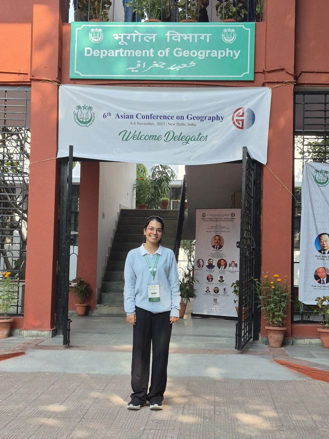
Punjab is one of India's main wheat and paddy producing states, and decades of canal plus tube well irrigation have pushed water tables down in large parts of the region. The aim here was simple: use freely available remote sensing data to see whether the spatial signals from vegetation and water indices line up with the areas known to face groundwater decline. I presented this work at the 6th Asian Conference on Geography (2025).
Approach
My starting point was that NDVI and NDWI together tell a fuller story than either one alone. NDVI responds to crop vigour and green biomass, while NDWI is more sensitive to water content in vegetation and to open water bodies. In a place like Punjab, where most green cover is irrigated cropland rather than natural vegetation, a healthy NDVI signal often depends on water that is being pumped from below the ground.
So the approach was to:
- Map vegetation greenness across the state using NDVI.
- Map surface and vegetation water content using NDWI.
- Compare the two spatial patterns against each other and against what is already documented about groundwater behaviour in Punjab.
The idea was not to measure aquifer depth directly, which optical satellites cannot do, but to use surface indices as a readable proxy for the irrigation demand that drives groundwater use. Where you see strong, sustained crop greenness with limited surface water, the water supporting that greenery is usually coming from somewhere, and in Punjab that somewhere is often a tube well.
Methods
I built the workflow around Landsat data because of its long archive and consistent spectral bands, which make it dependable for index based work over agricultural areas.
Index computation
Both indices are band ratios that are quick to compute and easy to interpret:
- NDVI uses the near infrared and red bands. Higher values indicate denser, healthier vegetation.
- NDWI uses the green and near infrared bands to highlight water content and open water.
I processed the imagery for the Punjab extent, applied the standard index formulas, and produced index rasters for the study area. Using Google Earth Engine kept the heavy lifting of pulling and computing over large scenes manageable, and I used QGIS and Python for further handling, classification, and map preparation.
Reading the indices together
Once I had the NDVI and NDWI layers, the analytical step was comparison:
- Identifying zones of consistently high NDVI, which point to the heavily cropped, irrigation dependent belts.
- Checking NDWI for where genuine surface water exists versus where greenness is sustained without much visible surface water.
- Relating these spatial patterns to the documented groundwater situation in Punjab, so the indices act as a surface signal of subsurface stress.
I kept the interpretation qualitative and spatial rather than claiming precise water volumes, because that is what optical indices honestly support. The strength of the method is in showing where patterns concentrate, not in putting an exact number on the water table.
Outcome
The study produced a clear, map based picture of how vegetation greenness and water indices are distributed across Punjab, and it showed that the high greenness zones broadly correspond to the intensively irrigated agricultural districts that are also associated with groundwater stress. In other words, the surface indices and the known groundwater story point in the same direction.
A few takeaways stood out for me:
- Free, open data goes a long way. Landsat plus open source tools were enough to build a meaningful state scale view of vegetation and water conditions.
- NDVI and NDWI complement each other. Reading them as a pair gives a better sense of irrigation pressure than either index on its own.
- Surface signals can flag subsurface concerns. Where crops stay green without matching surface water, it is a useful prompt to look harder at groundwater dependence.
I presented these findings at the 6th Asian Conference on Geography in 2025. For me the project was a practical demonstration that accessible remote sensing methods can support water and agriculture conversations in Punjab and in similar farming regions across India. It also set up a direction I want to keep building on, bringing in multi season and multi year imagery so the indices can show change over time rather than a single snapshot.
The full presentation is available as a PDF.