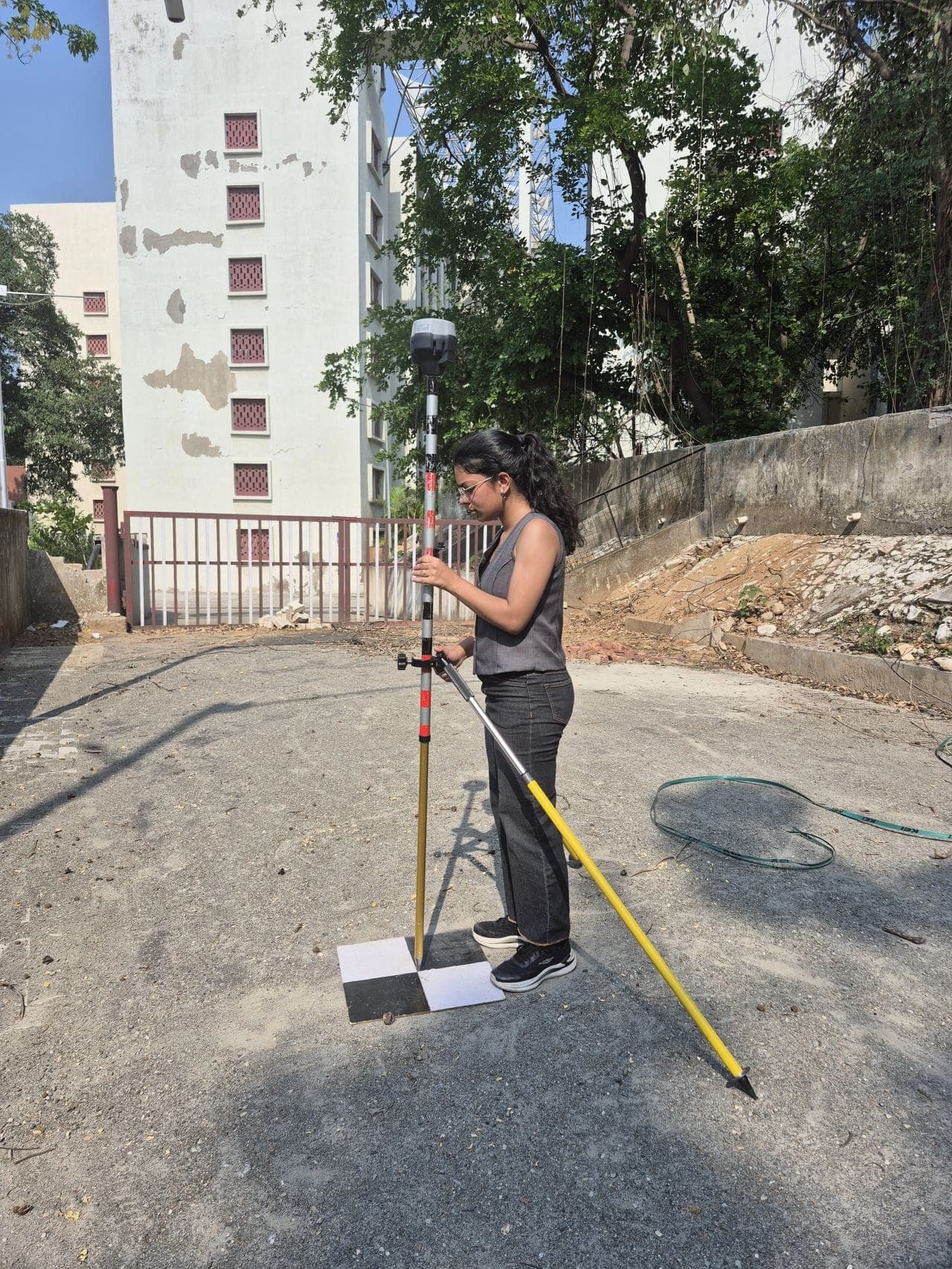
Field surveys, satellite analysis and cartography applied to agriculture, water and the environment across India.
A remote sensing case study mapping vegetation and surface water across Punjab, India using NDVI and NDWI from Landsat imagery to read groundwater stress over an agricultural state.
A Sentinel-2 remote sensing study of how industrial zones in Delhi NCT affect surrounding vegetation, water, and built-up land using NDVI, NDWI, NDBI, buffer zones, and zonal statistics.
As a Research Intern at IIT Roorkee, I ran UAV survey prep, GNSS ground control with Emlid Reach RS3 and Trimble DA, and photogrammetry workflows for accurate, georeferenced mapping outputs.
A research-trainee project at Miranda House, University of Delhi, linking temperature, groundwater depletion and Punjab agriculture using spatial analytical tools and open satellite data.
An eight-week research-writing internship at Bhu Chintan where I produced literature reviews, formatted articles, and prepared publication-ready geography writing.
Mapping vegetation condition and water stress across farmland in India using Sentinel-2 and Landsat NDVI and NDWI for agricultural and environmental monitoring.