Spatial Analytics for Academic Research
A research-trainee project at Miranda House, University of Delhi, linking temperature, groundwater depletion and Punjab agriculture using spatial analytical tools and open satellite data.
Overview
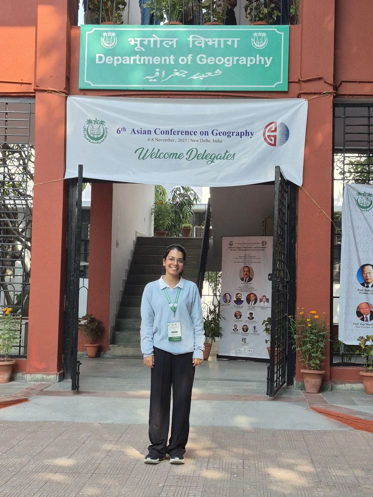
This case study covers a spatial analytics project I worked on as a research trainee during a Spatial Analytical Tools training programme at Miranda House, University of Delhi, in New Delhi, India. The aim was practical, to take open satellite data and groundwater records and study how rising temperature, falling water tables and agriculture in Punjab connect with each other across space.
In short, the project used GIS and remote sensing to map three things together, surface temperature, groundwater depletion and cropping patterns, and to look for where they overlap most strongly. Instead of treating each as a separate number, I treated them as layers on the same map, which is what spatial analysis is good at.
The work was hands on. It gave me a structured way to move from raw imagery and tabular records to maps that a non specialist can read, and it tied directly to my wider interest in water and agriculture in north India.
Approach
Punjab is a useful study area because it sits at the centre of a real problem. It grows a large share of the country's rice and wheat, it depends heavily on groundwater for irrigation, and it is warming. These three pressures are linked, so studying them in isolation hides the story. A spatial approach lets you ask a sharper question, where on the map do high temperature, heavy groundwater stress and intensive agriculture line up?
My approach rested on a few principles.
- Use open and repeatable data. Everything was built on freely available satellite archives and public groundwater records, so the workflow can be repeated by anyone with the same tools.
- Keep the layers comparable. Temperature, vegetation and water indicators were brought to a common spatial frame so they could be overlaid and compared fairly.
- Let the map do the reasoning. Rather than starting from a conclusion, I let the overlaps emerge from the data and then interpreted them.
The training framed this clearly. It was less about one finished result and more about learning the toolchain that academic research in this area actually uses, from data access to final cartography.
Methods
The methods followed the standard GIS and remote sensing pipeline, applied to the Punjab agriculture, temperature and groundwater question.
Data sources
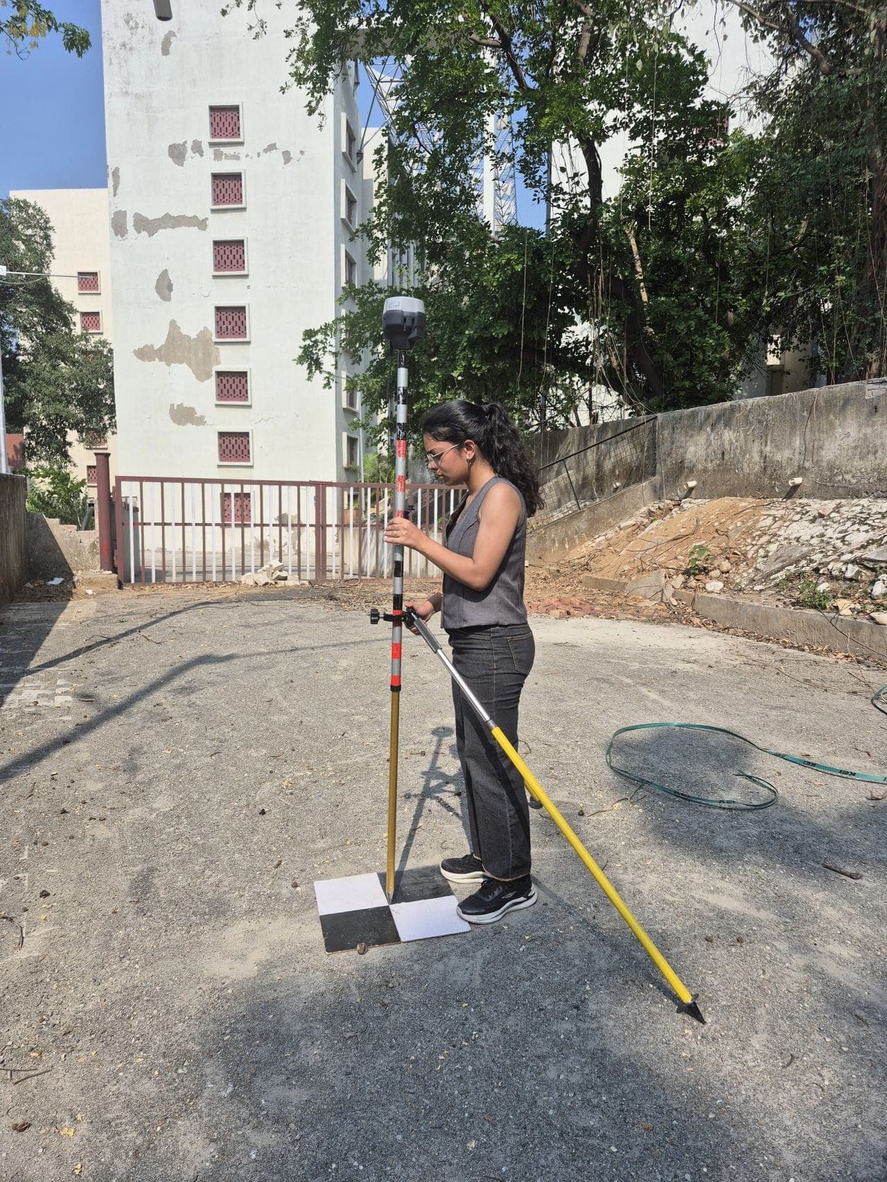
- Satellite imagery from Landsat and Sentinel-2 for vegetation and land surface conditions.
- Land surface temperature derived from the thermal information in the satellite archive.
- Groundwater records to represent depletion and water table stress across the region.
- Google Earth Pro for visual reference and quick checks against real ground features.
Processing and indices
I worked mainly in QGIS, with Google Earth Engine for handling the imagery archive at scale, and Python and R for the data side.
- Computed vegetation and moisture indices such as NDVI and NDWI to read crop vigour and surface water content.
- Derived land surface temperature to map the thermal pattern across agricultural Punjab.
- Cleaned and joined the groundwater data so it could sit in the same spatial framework as the imagery.
Spatial analysis
The core step was overlay and comparison.
- Brought temperature, vegetation, moisture and groundwater layers into one consistent coordinate system and study extent.
- Used zonal and overlay analysis to see how the indicators behaved together across different parts of the region.
- Produced clear maps and supporting charts so the patterns could be communicated, not just calculated.
This is where the training material was most valuable. It walked through the full set of spatial analytical tools, projection handling, raster maths, zonal statistics and map layout, in the order a real project needs them.
Outcome
The outcome was both a set of maps and a way of working that I now reuse.
On the analytical side, the layered maps showed how the heavily cropped, groundwater dependent parts of Punjab also tend to coincide with warmer surface conditions and signs of water stress. Seeing temperature, vegetation and groundwater on the same frame made the spatial overlap visible in a way that separate tables never could. I have kept the quantitative reading qualitative here, because the value of the exercise was the spatial pattern and the method, not a single headline figure.
On the skills side, the project gave me a repeatable spatial analytics workflow, from open data access through index computation to final cartography, that I have since carried into my other work on water indices and land use in north India.
Key takeaways:
- Spatial analysis turns three separate problems, heat, water and farming, into one readable picture for Punjab.
- Open satellite data and public groundwater records are enough to build a serious academic study.
- A clean GIS pipeline matters as much as the result, because it can be repeated and defended.
For me, this was an early and formative piece of applied research. It connected classroom training at Miranda House, University of Delhi, with a real regional question in Indian agriculture and water security, and it set the direction for the remote sensing work I do now.