Exporting Large GEE Results to Google Drive Without Hitting Limits
GEE exports silently fail at scale because of pixel count limits, file size constraints, and Drive storage quirks. This post explains spatial tiling, key export parameters, and when to switch from Drive to Cloud Storage for large-area workflows.
When Your GEE Script Breaks at Scale
You've built a clean script, tested it on a small tile, and everything looks perfect. Then you scale up, a full district, a state, maybe all of India, and suddenly the export task either times out, silently fails, or produces a file that Google Drive refuses to open. If you've hit this wall, you're not alone. This is the most common point where intermediate Google Earth Engine users get stuck, and it's rarely discussed comprehensively in one place.
The core issue is that GEE's export pipeline has real architectural constraints: maximum pixel counts per task, file size limits on individual exports, and Drive storage ceilings that interact in non-obvious ways. Understanding why these limits exist, and how to work around them systematically, is what separates scripts that work in production from scripts that only work in demos.
Why Does GEE Impose Export Limits at All?
GEE runs on Google's distributed compute infrastructure, and exports are essentially serialization tasks, converting lazy, cloud-native computations into concrete files. Each export task is bounded to prevent any single user from monopolizing backend resources.
The practical consequences:
- Pixel count limits per export task mean that high-resolution imagery over large areas will fail if you try to export in one shot
- File format constraints mean that some formats (GeoTIFF, TFRecord) behave differently from others at large sizes
- Drive storage is separate from GEE compute, a successful GEE task can still fail to write if your Drive is full or if the file exceeds what Drive can handle as a single object
The frustrating part is that GEE often doesn't surface these failures clearly. A task may show "COMPLETED" in the Task Manager but produce a corrupted or incomplete file. Always verify outputs.
How Do You Tile Large Exports Programmatically?
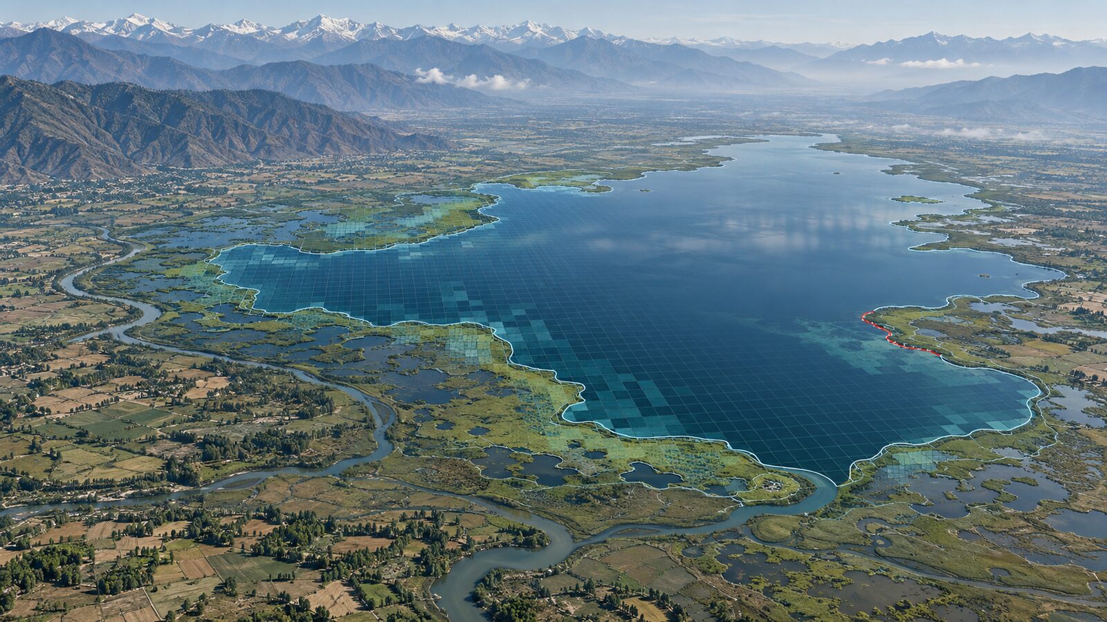
The most reliable workaround for large-area exports is spatial tiling, breaking your region of interest into smaller grid cells and submitting one export task per cell. This is the approach I use for any export covering more than a few hundred square kilometres at moderate resolution.
Here's the logic in plain terms:
- Define your full region of interest (ROI) as a geometry
- Generate a grid of smaller rectangles that together cover the ROI - GEE's
geometry.coveringGrid()method is useful here - Loop over each grid cell and submit a separate
Export.image.toDrive()task with a uniquefileNamePrefix - After all tasks complete, mosaic the tiles in QGIS, Python (rasterio), or back in GEE itself
A worked example, exporting Sentinel-2 NDVI for Rajasthan at 10 m:
Rajasthan is roughly 342,000 km². At 10 m resolution, a single-band export would involve billions of pixels, well beyond what a single task can handle. A practical approach is to divide the state boundary into a 1° × 1° grid (approximately 110 km × 110 km cells), which gives you around 30–35 tiles. Each tile at 10 m resolution is manageable as an individual task, and the whole batch can be submitted in a loop. The resulting files land in a named Drive folder and can be merged with gdal_merge.py or rasterio.merge in a post-processing step.
The key parameters to set explicitly in each Export.image.toDrive() call:
scale: match your source imagery resolution, don't let GEE default thiscrs: fix it to a projected CRS (e.g., EPSG:32643 for UTM Zone 43N covering much of northwest India) to avoid distortionmaxPixels: set this high enough (e.g.,1e13) so GEE doesn't abort the task, this is a safeguard parameter, not a resource requestfileFormat:'GeoTIFF'is the most interoperable choice for downstream GIS work
What's the Difference Between Exporting to Drive vs. Cloud Storage?
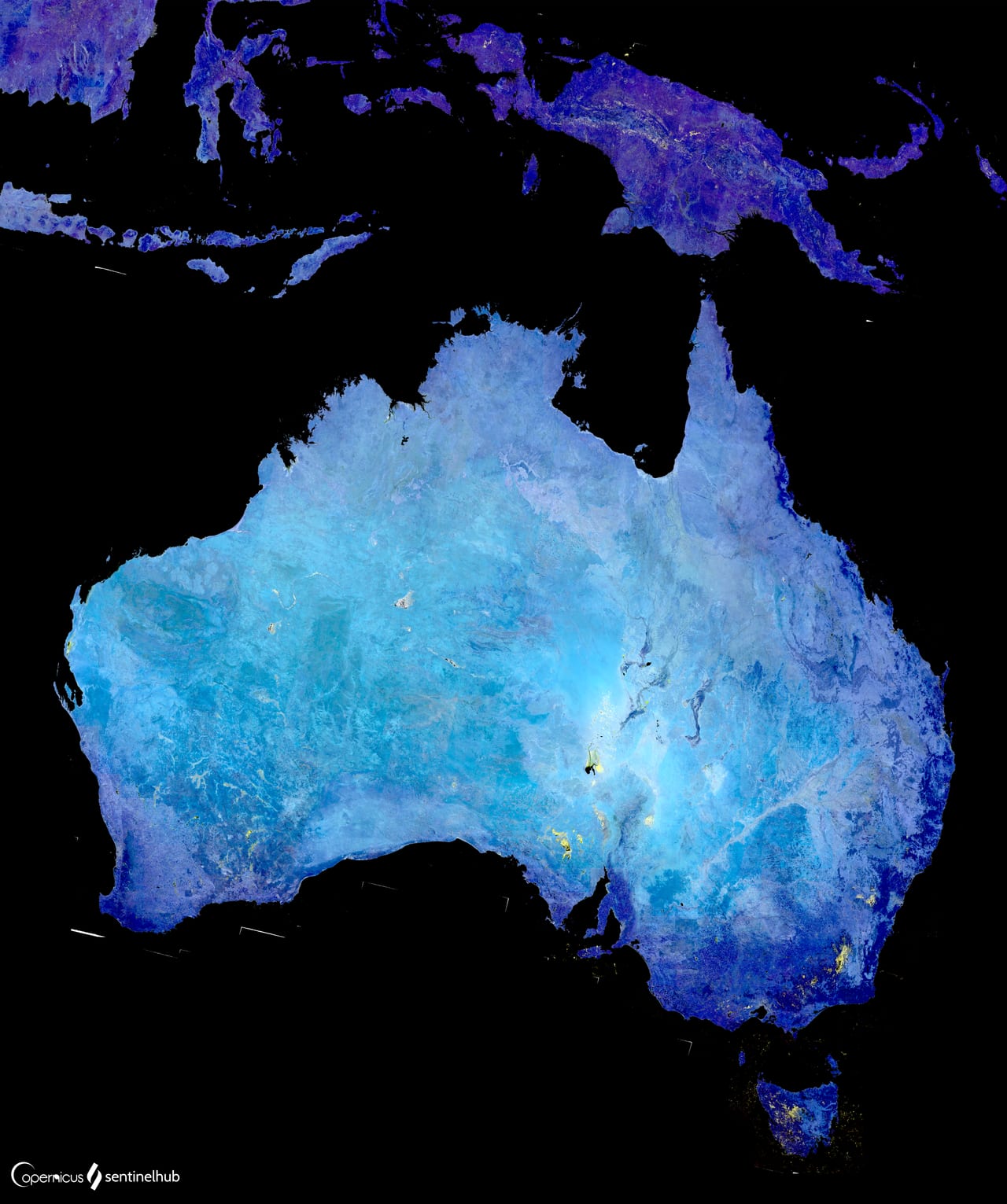
Illustrative: Sentinel-2 mosaic export GeoTIFF. "Australia with Cloudless Sentinel-2 Mosaic (51250795547)" by Sentinel Hub is licensed under CC BY 2.0. To view a copy of this license, visit https://creativecommons.org/licenses/by/2.0/.
For serious production workflows, Google Cloud Storage (GCS) is a better target than Drive. Drive is consumer-grade storage with per-file size quirks and sync overhead. GCS is object storage designed for large files, and GEE's Export.image.toCloudStorage() function writes directly to a bucket without the Drive intermediary.
The trade-off is cost and setup: GCS buckets incur storage charges (Drive has a free tier), and you need a Google Cloud project with billing enabled. For a student or researcher running occasional exports, Drive is fine. For automated pipelines, operational monitoring, or anything involving terabytes, GCS is the right choice.
A middle path that works well in Indian research contexts, where institutional cloud budgets are limited, is to use Drive for intermediate outputs and then move files to a local server or institutional NAS once downloaded.
How Do You Manage Many Concurrent Export Tasks?
GEE limits the number of concurrent tasks per user. Submitting hundreds of tile exports simultaneously doesn't make them run faster, it queues them. A few practices that help:
- Batch submission with monitoring: Submit tasks in groups and use the GEE Python API (
ee.batch.Task.list()) to poll task status before submitting the next batch - Descriptive task names: Use a naming convention like
NDVI_RJ_tile_row3_col5_2023so you can identify which tiles completed and which failed without opening each file - Failure handling: Some tiles will fail, often edge tiles that clip against coastlines or state boundaries with complex geometries. Build a re-run list from failed task IDs rather than resubmitting everything
The geemap Python library (developed by Qiusheng Wu) provides helper functions that wrap the GEE Python API and make batch task management significantly easier, including progress bars and automatic retry logic.
What About Exporting Time Series or Multi-Band Images?
Exporting image collections (time series) adds another dimension to the problem. You have two broad strategies:
Option 1 - Export each image separately: Loop over the collection, export each date as its own file. Simple, but produces many files and makes temporal analysis in GIS software cumbersome.
Option 2 - Stack bands and export as a single multi-band GeoTIFF: Collapse the collection into a single image where each band represents a date. This works well for short time series (say, 12 monthly composites) but becomes unwieldy for daily data over years.
For long time series, I generally prefer Option 1 and handle the temporal dimension in Python using xarray and rioxarray after download, it gives you much more flexibility than trying to manage a 365-band GeoTIFF in QGIS.
Practical Checklist Before Submitting Any Large Export
Before you run a large export job, especially overnight when you won't be watching, go through this:
- Tested the script on a small representative tile and verified the output opens correctly
-
maxPixelsset explicitly and high enough -
scaleandcrsset explicitly, not left to GEE defaults - Drive folder specified and has sufficient free space (check before, not after)
- Task names are descriptive and include date, region, and parameter info
- You have a plan for what to do with failed tiles
The last point is underrated. On any large export job, assume some tiles will fail. Having a re-run strategy ready means a few failures don't derail the whole project.
Frequently asked questions
Why does a GEE export task show "COMPLETED" but still produce a bad file?
GEE often doesn't surface export failures clearly - a task can show "COMPLETED" in the Task Manager but still produce a corrupted or incomplete file, so you should always verify outputs after export.
How do you export a large area like Rajasthan at 10 m resolution without hitting GEE's pixel limits?
Tile the region into a grid, roughly a 1° x 1° grid gives about 30-35 tiles for Rajasthan, export each tile separately with Export.image.toDrive(), then mosaic the resulting files afterward in QGIS, rasterio, or GEE itself.
When should I export GEE results to Google Cloud Storage instead of Google Drive?
Use Google Cloud Storage for production pipelines, operational monitoring, or terabyte-scale exports since it's object storage built for large files. For a student or researcher running occasional exports, Drive is fine.
What export parameters should be set explicitly instead of left as GEE defaults?
Set scale, crs, and maxPixels explicitly in every Export.image.toDrive() call rather than relying on defaults, for example fixing crs to a projected system like EPSG:32643 and setting maxPixels high enough (e.g. 1e13) so the task doesn't abort.
References
- Google Earth Engine Documentation - Export Images: https://developers.google.com/earth-engine/guides/exporting_images
- GEE Python API (earthengine-api): https://github.com/google/earthengine-api
- geemap library by Qiusheng Wu: https://geemap.org
- GEE Developer Forum (community troubleshooting): https://groups.google.com/g/google-earth-engine-developers
- rasterio documentation (for post-processing tiles): https://rasterio.readthedocs.io
Researched and drafted with AI assistance.
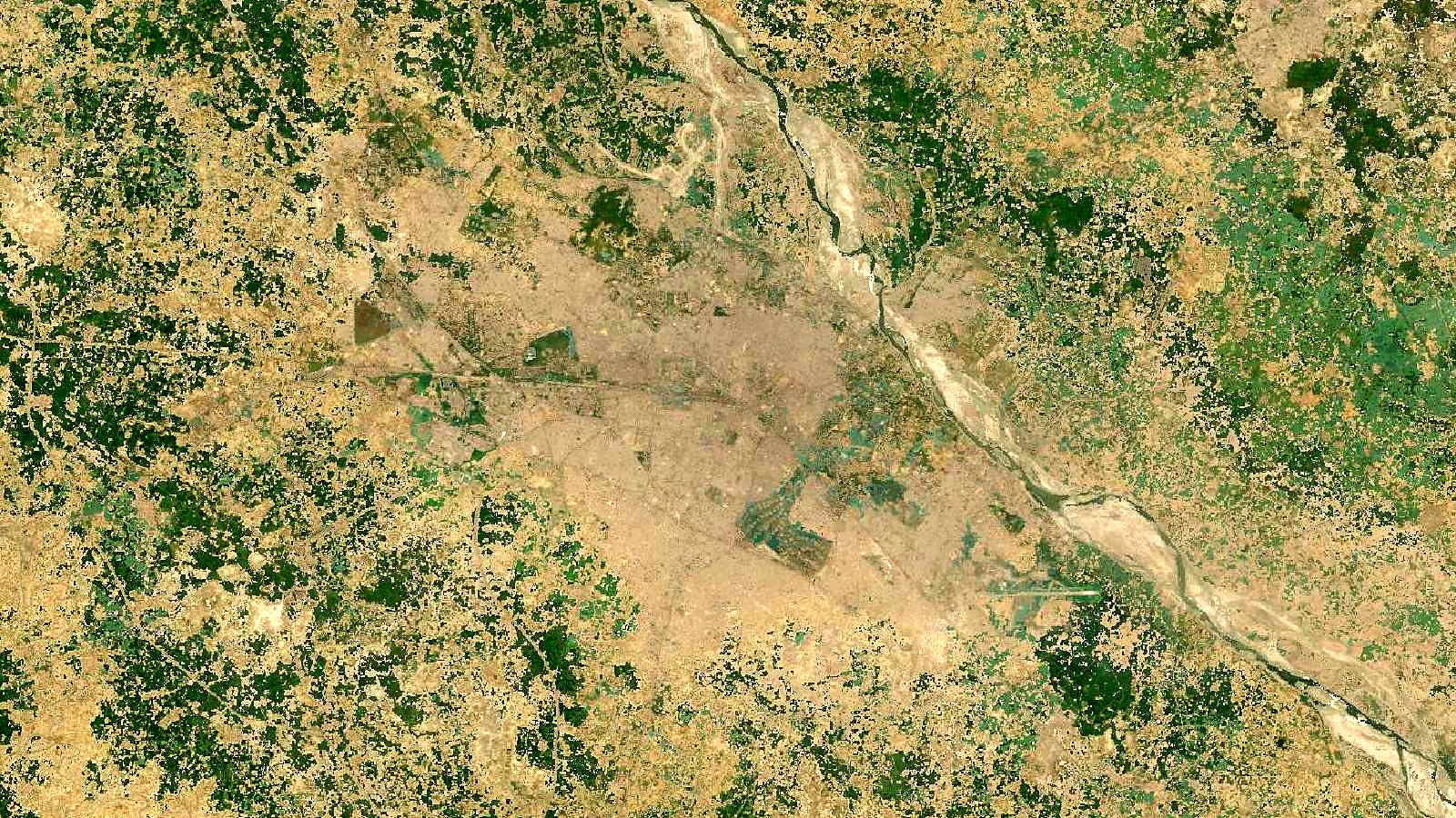
Cover image: Landsat true-colour composite of the Ganga plain around Kanpur, Uttar Pradesh (2000), NASA/USGS Landsat WELD via NASA GIBS (public domain).