GRACE-FO vs GRACE: What Changed for Groundwater Monitoring
GRACE-FO introduced laser ranging and improved accelerometers over its predecessor, but instrument upgrades and a one-year data gap create real methodological challenges for anyone building long-term groundwater depletion records over India.
Why This Comparison Matters Now
When GRACE (Gravity Recovery and Climate Experiment) went silent in 2017 after fifteen years of service, groundwater researchers faced an uncomfortable gap. GRACE-FO (Follow-On) launched in May 2018 and has now accumulated enough continuous data to produce multi-year trend analyses that can be meaningfully stitched to the original record. If you are building a long-term groundwater depletion study over, say, the Indo-Gangetic Plain or the Deccan Plateau, you can no longer afford to treat the two missions as interchangeable black boxes. Understanding what actually changed between them, instrumentally, algorithmically, and in terms of data continuity, is now a practical research decision, not just a technical curiosity.
What Was GRACE, and What Did It Actually Measure?
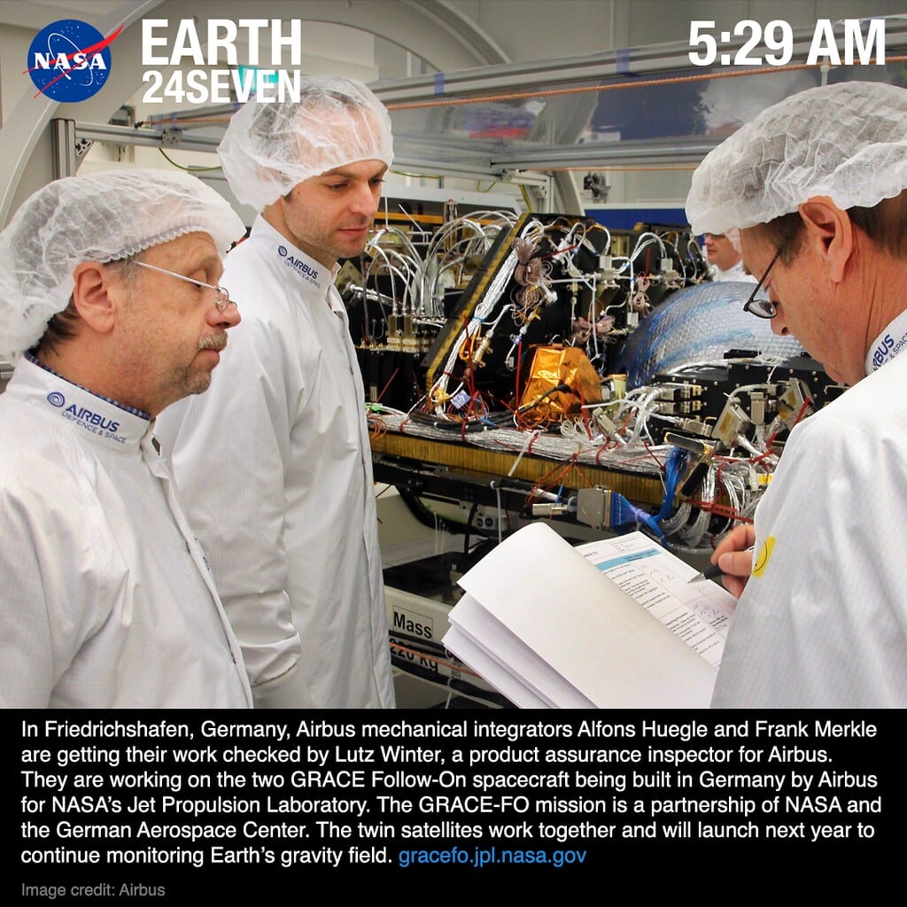
Illustrative: GRACE twin satellites low Earth orbit. "24Seven: Airbus GRACE-FO 05:29 EDT" by NASA Earth RIght Now is licensed under CC BY 2.0. To view a copy of this license, visit https://creativecommons.org/licenses/by/2.0/.
GRACE operated from March 2002 to October 2017 as a joint NASA–DLR mission. The core idea is elegant: two satellites fly in tandem about 220 km apart in low Earth orbit, and minute changes in the distance between them, measured by a microwave ranging system, reveal variations in Earth's gravitational field below. When groundwater is pumped out of an aquifer, the mass of that column of Earth decreases, gravity weakens slightly, and the inter-satellite distance changes accordingly.
The mission produced monthly gridded estimates of Terrestrial Water Storage (TWS) anomalies. Researchers then subtract modelled contributions from soil moisture, surface water, and snow/ice (using land surface models such as GLDAS) to isolate groundwater storage changes. This is an indirect, model-dependent step, a point that matters when comparing the two missions.
For India, GRACE data became foundational to documenting groundwater depletion across the northwestern states. Studies repeatedly pointed to alarming rates of loss in Punjab, Haryana, and Rajasthan, and the mission's ~15-year record was long enough to separate seasonal signals from secular trends.
What Changed with GRACE-FO?
GRACE-FO is not simply a replacement satellite, it carries genuine instrument upgrades alongside the inherited microwave ranging system.
The Laser Ranging Interferometer (LRI) The most significant addition is a laser ranging interferometer, a technology demonstration that measures inter-satellite distance with roughly two orders of magnitude better precision than the microwave system. The LRI is now the primary ranging instrument on GRACE-FO, with the microwave system retained as a backup. In practical terms, this means smaller groundwater signals, shallower aquifers, shorter drought events, or changes in smaller river basins, are theoretically detectable with greater confidence.
Improved Accelerometers Both satellites carry updated electrostatic accelerometers to measure non-gravitational forces (atmospheric drag, solar radiation pressure) that must be removed from the ranging signal. Better accelerometer performance reduces one of the main noise sources in monthly gravity solutions.
Orbit and Processing Continuity NASA's Jet Propulsion Laboratory (JPL), the Center for Space Research (CSR) at UT Austin, and Germany's GFZ continue to produce independent Level-2 gravity solutions for GRACE-FO, just as they did for GRACE. The processing chains have been updated, which is both a strength (reduced errors) and a complication: you cannot simply concatenate old and new monthly anomaly grids without accounting for the methodological differences.
The Data Gap Problem: June 2017 – June 2018
There is an approximately one-year gap between the end of usable GRACE data and the start of reliable GRACE-FO data. For trend analysis, this is non-trivial. Several approaches exist in the literature:
- Gap-filling with GLDAS or other land surface models, acceptable for soil moisture components but unreliable for groundwater, which models represent poorly.
- Statistical interpolation, linear or spline-based bridging, which works reasonably well for regions with stable long-term trends but can introduce artefacts where abrupt changes occurred (a drought year, a policy shift in irrigation).
- Mascon solutions, both JPL and CSR now release mascon (mass concentration) products that apply geophysical constraints during processing, which can reduce leakage errors and make the gap-bridging somewhat more defensible.
For Indian groundwater work specifically, the gap coincides with variable monsoon years, so any interpolation should be treated with explicit uncertainty quantification rather than glossed over.
A Worked Example: Comparing Trend Estimates Over Northwest India
Suppose you want to estimate groundwater depletion trends over Punjab and Haryana from 2003 to 2023. Here is a simplified workflow that highlights where the GRACE vs. GRACE-FO distinction bites:
- Download CSR RL06 mascon solutions for GRACE (2002–2017) and GRACE-FO (2018–present) separately. Do not assume the scaling factors are identical.
- Apply the same GLDAS-Noah soil moisture and snow water equivalent fields to both periods to isolate groundwater. Using different GLDAS versions for the two periods will introduce a spurious trend.
- Handle the gap explicitly. Mark June 2017–June 2018 as missing rather than interpolating, or run your trend model with a dummy variable for the gap period.
- Fit separate linear trends for the GRACE and GRACE-FO periods first, then test whether a single pooled trend is statistically defensible. If the slopes are significantly different, investigate whether that reflects a real hydrological change (groundwater policy, monsoon shift) or a processing artefact.
- Report uncertainty from both the gravity solutions and the land surface model subtraction. In northwest India, soil moisture uncertainty alone can be comparable in magnitude to the groundwater signal at seasonal timescales.
This is not a trivial pipeline, but skipping these steps is how spurious "acceleration" or "recovery" signals enter the literature.
What GRACE-FO Still Cannot Do
It is worth being honest about limitations that persist regardless of the instrument upgrade:
- Spatial resolution remains coarse. Monthly gravity solutions are typically smoothed to ~300–400 km resolution. Individual district-level aquifers in India are invisible unless you apply aggressive downscaling, which requires independent in-situ data.
- The model-dependence of groundwater isolation has not changed. GRACE-FO tells you TWS; everything else is modelled.
- Temporal resolution is still monthly. Sub-monthly recharge events from intense monsoon pulses are not captured.
- The LRI precision advantage is most relevant for global geodesy. For regional groundwater hydrology at the scales most Indian researchers work with, the practical improvement over GRACE may be smaller than the headline numbers suggest.
Practical Guidance for Researchers in India
If you are starting a new groundwater study using satellite gravimetry:
- Use the JPL RL06M mascon product or CSR RL06 mascons, these tend to perform better over India than spherical harmonic solutions because they reduce leakage from the Himalayas and ocean boundaries.
- Always cite which release version (RL05, RL06) you used; results are not directly comparable across releases.
- For policy-relevant work (water budgets, irrigation planning), pair GRACE-FO with well-level data from the Central Ground Water Board (CGWB) wherever available. Satellite gravimetry is most powerful as a constraint on spatial patterns, not as a standalone number.
- The GRACE-FO data latency (typically a few months) means it is not suitable for near-real-time drought monitoring without supplementary data.
Frequently asked questions
What is the main instrument upgrade in GRACE-FO compared to GRACE?
GRACE-FO carries a Laser Ranging Interferometer (LRI), which measures inter-satellite distance roughly two orders of magnitude more precisely than GRACE's microwave ranging system, theoretically enabling detection of smaller groundwater signals.
How long was the data gap between GRACE and GRACE-FO?
There is an approximately one-year gap, from around June 2017 to June 2018, between the end of usable GRACE data and the start of reliable GRACE-FO data, which complicates long-term trend analysis.
Can GRACE-FO data be used directly for near-real-time drought monitoring in India?
Not on its own. GRACE-FO data typically has a latency of a few months, so it is not suitable for near-real-time drought monitoring without supplementary data sources.
What spatial resolution do GRACE-FO groundwater estimates provide?
Monthly gravity solutions from GRACE-FO are typically smoothed to roughly 300-400 km resolution, meaning individual district-level aquifers in India cannot be resolved without independent in-situ data for downscaling.
References
- NASA GRACE-FO Mission Overview: https://gracefo.jpl.nasa.gov/mission/overview/
- NASA GRACE Tellus Data Portal (CSR, JPL, GFZ solutions): https://grace.jpl.nasa.gov/data/get-data/
- JPL Mascon Product Documentation: https://grace.jpl.nasa.gov/data/get-data/jpl_global_mascons/
- GLDAS Land Surface Model Data (NASA GES DISC): https://ldas.gsfc.nasa.gov/gldas/
- Central Ground Water Board, India: https://cgwb.gov.in/
Researched and drafted with AI assistance.
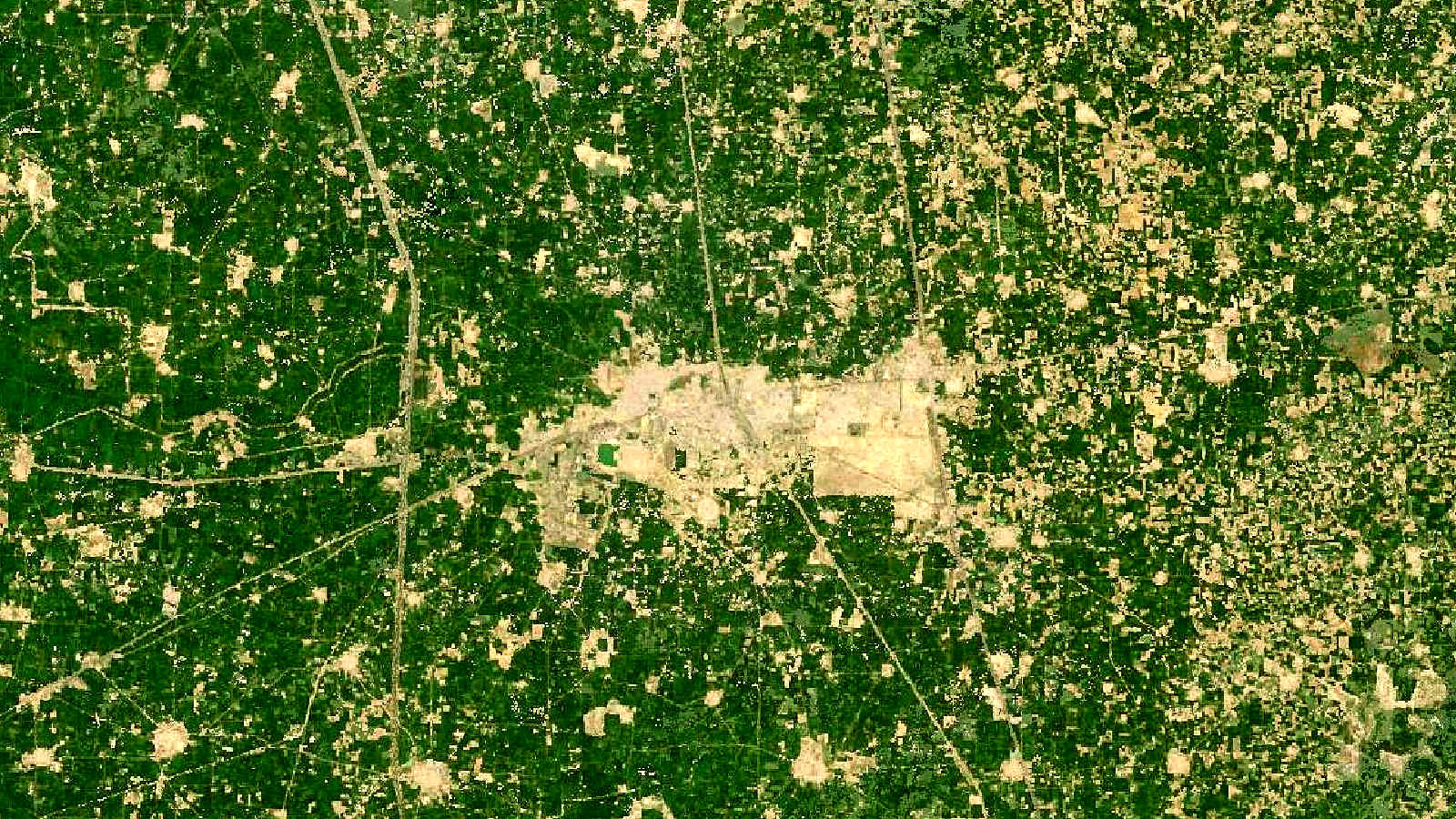
Cover image: Landsat true-colour composite of farmland near Kurukshetra, Haryana (2000), NASA/USGS Landsat WELD via NASA GIBS (public domain).