Ground Sampling Distance Explained: How GSD Affects Map Accuracy
Ground sampling distance (GSD) sets the resolution ceiling for every drone survey output. This article explains the GSD formula, application-specific thresholds for Indian projects, and the most common field mistakes that make datasets unusable.
Why GSD Matters More Than Ever for Indian Drone Surveys
Drone surveys are spreading rapidly across India, from highway corridor mapping under NHAI projects to crop-health monitoring in Punjab and Haryana. Yet in practice, the single most common reason a drone dataset ends up unusable is not a faulty sensor or bad weather: it is a miscalculated ground sampling distance. I have seen this happen even with expensive equipment, because GSD is often treated as an afterthought rather than the first design decision.
This article walks through what ground sampling distance actually means, how it controls map accuracy, and how to calculate it correctly before you fly, not after.
What Is Ground Sampling Distance?
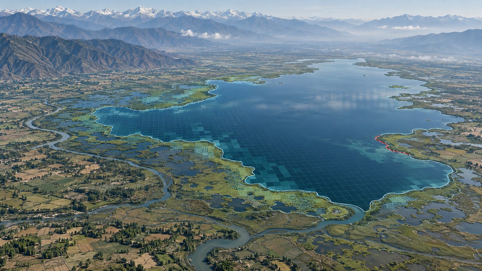
Ground sampling distance (GSD) is the real-world size of one pixel in an orthophoto or digital surface model. If your GSD is 5 cm, each pixel in the final image represents a 5 cm × 5 cm patch of ground. A smaller GSD means more detail; a larger GSD means coarser output.
GSD is not the same as accuracy, but it sets a hard ceiling on it. You cannot measure a feature smaller than your GSD, and your positional accuracy will rarely be better than 1–3 times the GSD even with good ground control points. This distinction matters enormously when a client asks for a map "accurate to 10 cm", you need to know whether they mean spatial resolution or absolute positional accuracy, because those require different flight parameters.
The Formula: What Controls GSD?
For a standard nadir (downward-looking) camera on a fixed-wing or multirotor drone, GSD is governed by three variables:
GSD = (Sensor pixel size × Flight altitude) / Focal length
Breaking this down:
- Sensor pixel size, the physical size of one pixel on the camera sensor, typically expressed in micrometres (µm). A Sony A6000, for example, has a pixel pitch around 3.9 µm.
- Flight altitude (AGL), height above ground level, not above sea level. In hilly terrain like the Western Ghats or the Shivalik foothills, AGL changes constantly if you fly at a fixed barometric altitude.
- Focal length, the lens focal length in millimetres. A wider lens (shorter focal length) gives a larger GSD at the same altitude.
A simple worked example:
Sensor pixel size: 3.9 µm (0.0039 mm) Flight altitude: 100 m (100,000 mm) Focal length: 24 mm
GSD = (0.0039 × 100,000) / 24 = 16.25 mm ≈ 1.6 cm
That is a fine resolution, suitable for detecting individual plants or pavement cracks. Now raise altitude to 200 m and GSD doubles to about 3.2 cm. This linear relationship is the most important thing to internalise: altitude is your primary GSD lever in the field.
How GSD Affects Map Accuracy in Practice
Different applications demand different GSD thresholds. Here is a practical reference for common Indian use cases:
- Cadastral and land-record mapping (SVAMITVA scheme, urban ULBs): Typically requires GSD ≤ 3–5 cm to delineate property boundaries reliably.
- Road and highway surveys (NHAI, state PWD): Cross-section extraction and pothole mapping generally need GSD ≤ 5 cm; corridor planning can tolerate 10–15 cm.
- Precision agriculture (crop counting, canopy mapping): Individual plant detection usually requires GSD ≤ 3 cm; field-level NDVI can work at 10–15 cm.
- Forest and biodiversity surveys: Species-level canopy discrimination often needs GSD ≤ 5 cm; landscape-level work is fine at 20–30 cm.
- Mining and quarry volumetrics: Stockpile volume calculations are sensitive to surface model noise; GSD ≤ 5 cm is a common industry threshold.
The key insight is that a coarser GSD does not just reduce visual sharpness, it degrades every downstream product. Contour lines derived from a 15 cm GSD DSM will be noisier than those from a 5 cm GSD DSM, even if you apply the same interpolation algorithm. Similarly, building footprints auto-extracted from a 10 cm orthophoto will have jagged edges that require manual correction.
Common GSD Mistakes in Drone Survey Projects
Having reviewed outputs from student projects and small survey firms, I keep seeing the same errors:
-
Flying at a fixed ASL altitude in variable terrain. If your survey area has 50 m of relief and you fly at a constant 150 m ASL, your GSD varies by 33% across the strip. In hilly parts of India - Uttarakhand, Meghalaya, the Nilgiris, this is a serious issue. Use terrain-following flight planning.
-
Confusing sensor crop factor with focal length. Many drone cameras use crop sensors. A 24 mm focal length on a Micro Four Thirds sensor is not the same field of view as 24 mm on a full-frame sensor. Always use the physical focal length and physical pixel pitch in your GSD formula, not 35 mm equivalents.
-
Ignoring overlap's effect on effective resolution. Higher overlap (80–85% front, 70–75% side) improves photogrammetric reconstruction quality and reduces blunders, but it does not change GSD. Students often conflate the two.
-
Not accounting for GSD in the accuracy budget. If a project specification says "planimetric accuracy ± 5 cm," flying at a GSD of 4 cm leaves almost no margin. A GSD of 2–2.5 cm gives you headroom.
-
Using GSD from the drone manufacturer's marketing sheet. These figures are typically calculated at a specific altitude under ideal conditions. Always compute GSD yourself for your actual flight altitude and camera configuration.
Planning a Ground Sampling Distance Drone Survey: A Checklist
Before you generate a flight plan, run through these steps:
- Confirm the deliverable specification (orthophoto resolution, contour interval, positional accuracy tolerance)
- Back-calculate the required GSD from the spec (a rule of thumb: GSD ≤ contour interval / 2)
- Identify your camera's physical pixel pitch and focal length from the datasheet
- Calculate required altitude using: Altitude = (GSD × Focal length) / Pixel pitch
- Check whether that altitude is within DGCA's permissible limits (currently 400 ft AGL for most categories under the Drone Rules 2021)
- Assess terrain relief in the survey area; if relief > 10% of flight altitude, plan terrain-following or split into elevation zones
- Set overlap conservatively (80/70 minimum for photogrammetry)
- Plan GCP distribution, for areas up to ~50 ha, five well-distributed GCPs are a reasonable starting point
A Note on DGCA Regulations and GSD
India's Drone Rules 2021 and the subsequent amendments under the PLI scheme have opened up commercial drone operations significantly. Most survey-grade work falls under the "Medium" or "Large" drone category, requiring a Remote Pilot Certificate and prior airspace approvals through the DigitalSky platform. These regulatory constraints, particularly altitude caps and no-fly zones near airports, borders, and sensitive installations, can directly limit your achievable GSD. If a project site is near a restricted zone, you may be legally capped at an altitude that forces a coarser GSD than your spec requires. Factor this in early, not on the day of the flight.
Final Thoughts
Ground sampling distance is the foundation of every drone survey workflow. Get it wrong at the planning stage and no amount of post-processing, not even the best photogrammetry software, can recover the detail that was never captured. In India's rapidly expanding drone survey market, where clients are increasingly sophisticated and project specifications are tightening, understanding GSD is not optional. It is the difference between a deliverable that passes QC and one that gets sent back.
If you are a student or early-career GIS professional, I would encourage you to calculate GSD manually for every project before touching any flight-planning software. The formula is simple, and internalising it will save you from the most avoidable mistakes in this field.
Frequently asked questions
What GSD is needed for cadastral or land-record mapping in India?
Cadastral and land-record mapping under schemes like SVAMITVA typically requires a ground sampling distance of 3-5 cm or finer to reliably delineate property boundaries in urban local bodies.
How is ground sampling distance calculated for a drone survey?
GSD equals sensor pixel size multiplied by flight altitude, divided by focal length. For example, a 3.9 µm pixel pitch at 100 m altitude with a 24 mm lens gives a GSD of about 1.6 cm.
Why does flying at a fixed altitude cause GSD problems in hilly terrain?
Flying at a constant above-sea-level altitude over variable terrain changes the actual height above ground; in a worked example with 50 m of relief, GSD varied by about 33% across the strip, a serious issue in hilly regions like Uttarakhand or the Nilgiris.
Does higher image overlap improve ground sampling distance?
No. Higher front and side overlap improves photogrammetric reconstruction quality and reduces processing errors, but it does not change GSD itself; students often conflate the two effects.
References
- DGCA Drone Rules 2021 and DigitalSky platform: https://digitalsky.dgca.gov.in/
- Survey of India - Geospatial Data Promotion & Development Committee guidelines: https://www.surveyofindia.gov.in/
- Ministry of Civil Aviation, India - Drone ecosystem policy roadmap: https://www.civilaviation.gov.in/
Researched and drafted with AI assistance.
Hero image: "Northrop Grumman RQ-4A 'Global Hawk'" by mark6mauno is licensed under CC BY 2.0. To view a copy of this license, visit https://creativecommons.org/licenses/by/2.0/.